

THE FUTURE 3D: LiDAR Drone & Photogrammetry, Matterport 3D Virtual Tour, 3D Laser Scanning, Scan-to-BIM/CAD
Provides integrated reality-capture and site-documentation services for commercial properties, facilities, and infrastructure projects.
Provider overview
About THE FUTURE 3D: LiDAR Drone & Photogrammetry, Matterport 3D Virtual Tour, 3D Laser Scanning, Scan-to-BIM/CAD
Florida-headquartered THE FUTURE 3D provides integrated reality-capture and site-documentation services for property, facility, and infrastructure teams. Its operating model combines field capture, processing, and delivery under one provider, with nationwide coverage and international service availability. The company also maintains a capture partner network and supports projects ranging from individual spaces to large facilities and corridor-scale sites.
Provider profile
Profile highlights
Platform Range
Field systems include Matterport Pro3, Trimble X12/X9/X7, and NavVis VLX3/MLX platforms.
Cross-Platform Capture
Projects can combine manned aircraft, helicopters, fixed-wing drones, and ground-based scanning within one workflow.
Structured Workflow
Its published workflow moves from consultation and site assessment through capture, processing, and delivery.
Capture Partner Network
A capture partner network supports the company’s nationwide operating coverage.
Provider capabilities
Capabilities
Provider capabilities
Industries served
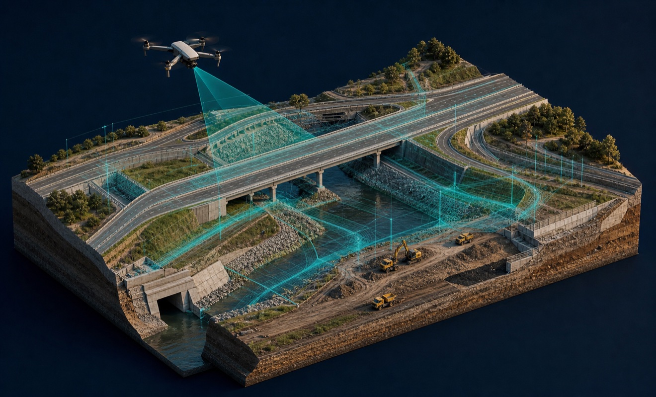
Civil engineering

Construction
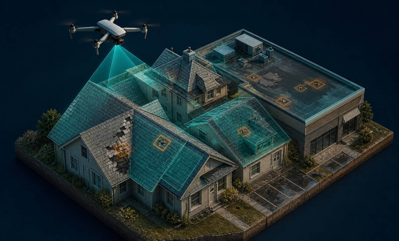
Insurance and roofing
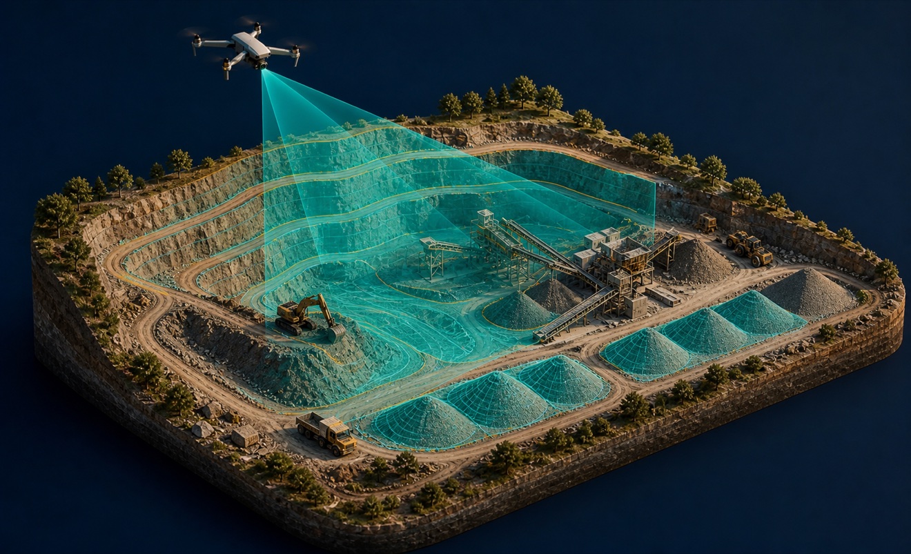
Mining and aggregates

Surveyors and developers

Utilities

Waste management
Provider capabilities
Deliverables

3D model
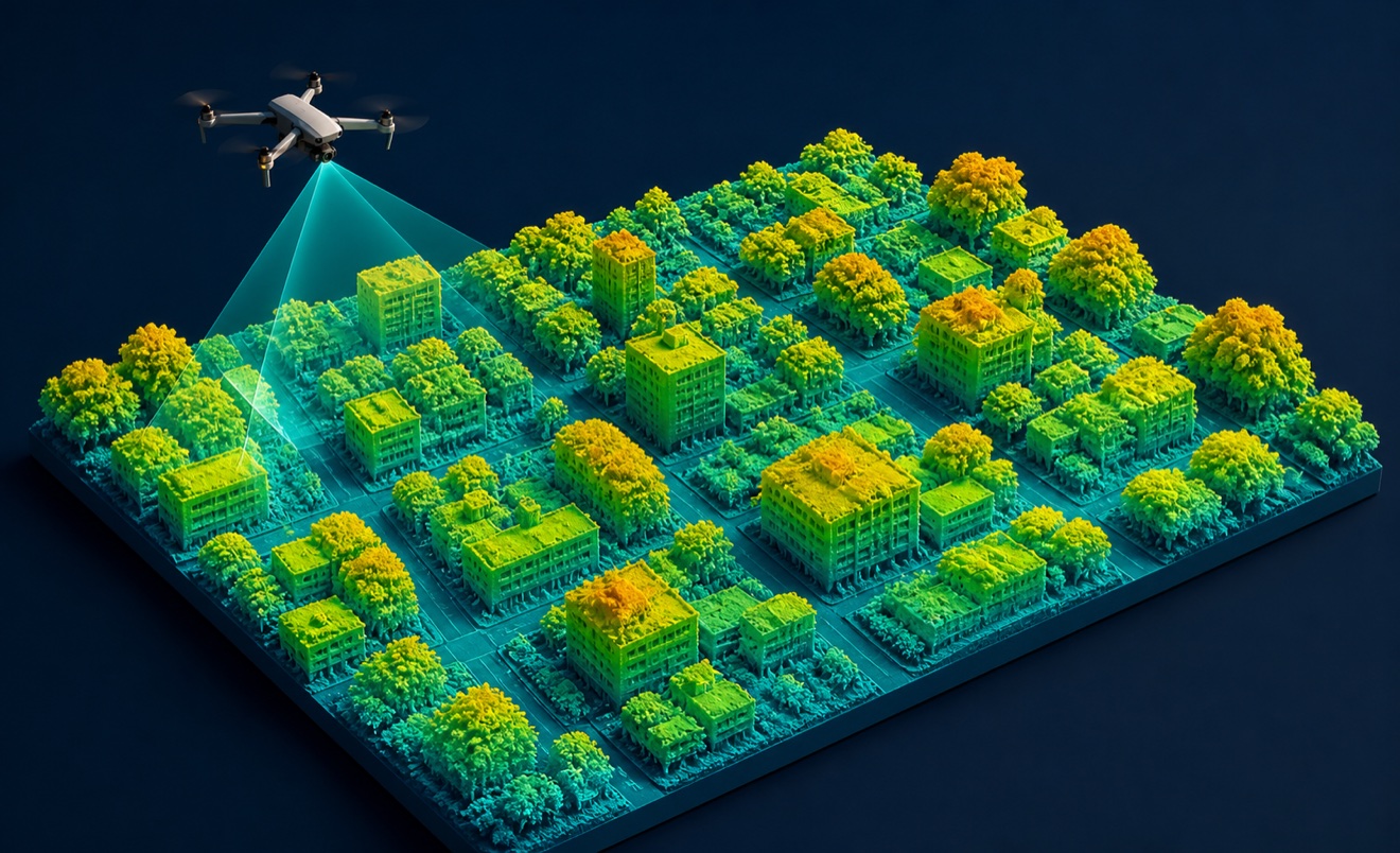
Digital surface model
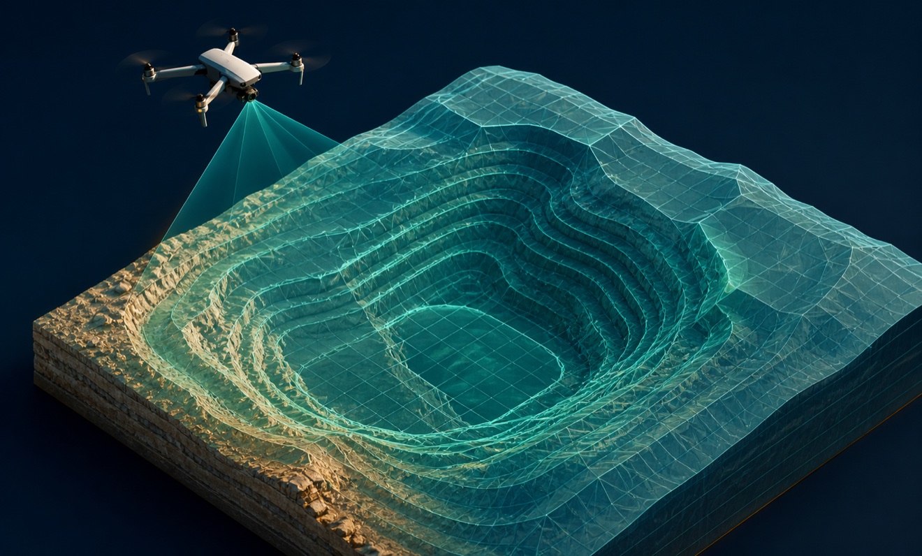
Digital terrain model

Orthomosaic

Point cloud
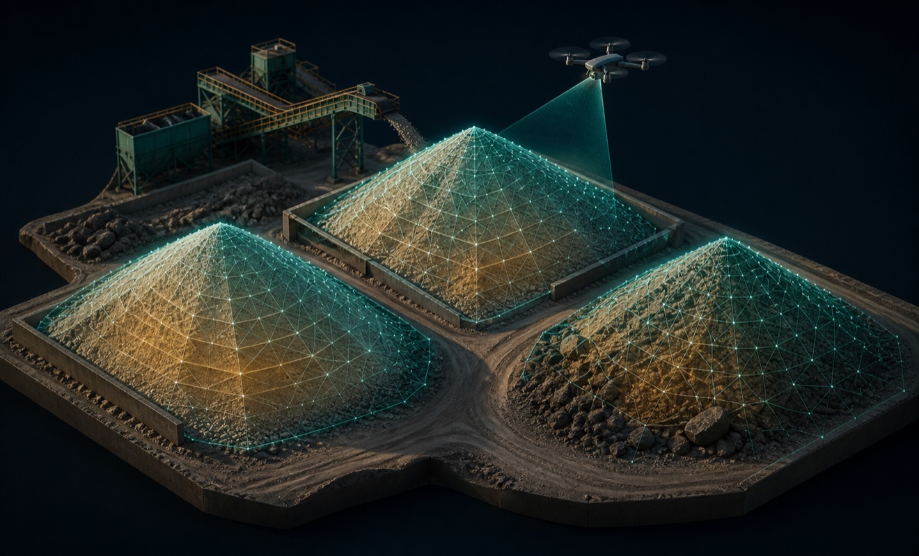
Stockpile volumes

Topographic map