Soaring Eagle Technologies
Soaring Eagle Technologies provides drone-enabled inspection and geospatial data services for utilities, surveyors, developers, construction teams, and civil engineering firms.
Provider overview
About Soaring Eagle Technologies
Soaring Eagle Technologies is a veteran-owned U.S. provider of drone-enabled inspections, mapping, and geospatial analysis. It serves utilities, construction teams, surveyors, developers, and civil engineering firms through UAS image capture, thermal imaging, GIS, 3D modeling, and AI-assisted analytics. Its operating model includes a nationwide drone pilot network and FAA-approved beyond-visual-line-of-sight operations.
Provider profile
Why consider this provider
The clearest fit is utility infrastructure work requiring aerial inspection across substations, transmission systems, distribution assets, or vegetation corridors. The company also supports mapping projects for construction, land development, surveying, and civil engineering teams needing geospatial analysis, point clouds, or 3D models.
Provider profile
Profile highlights
Long-range BVLOS
The company reports completing a 51-mile utility inspection in six hours.
Utility asset coverage
Dedicated services address substations, transmission towers, distribution poles, and power lines.
Geospatial deliverables
Mapping work can produce point clouds and 3D models for project teams.
Veteran owned
The company identifies itself as a veteran-owned provider.
Provider profile
How they can help
Inspect utility assets
Capture inspection data for substations, transmission towers, distribution poles, and lines.
Map project sites
Produce aerial mapping data for construction, surveying, development, and engineering workflows.
Build spatial outputs
Generate point clouds and 3D models from captured site data.
Identify heat patterns
Use thermal imaging to support inspection of infrastructure and project assets.
Provider profile
Specialties
Utility Corridor Inspections
Soaring Eagle Technologies demonstrates utility-focused operations spanning substations, transmission towers, distribution poles, power lines, and vegetation management. Its published work includes FAA-approved BVLOS inspections and a reported 51-mile utility inspection completed within six hours.
Survey and Design Mapping
The company supports surveyors, developers, construction teams, and civil engineering firms with UAS image capture and geospatial analysis. Demonstrated outputs include aerial mapping data, point clouds, and 3D models that can inform land development and design workflows.
Provider capabilities
Deliverables

Point cloud
Provider capabilities
Industries served

Civil engineering

Construction

Surveyors and developers

Utilities
Provider capabilities
Capabilities

3D modeling

Drone inspection
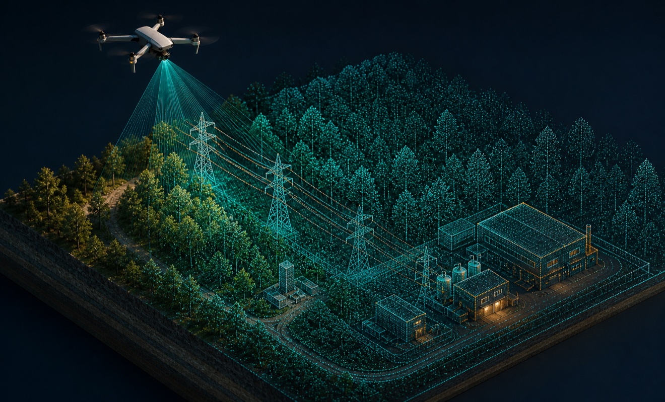
LiDAR mapping
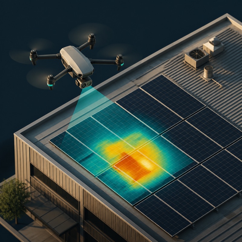
Thermal inspection