

SmartDrone of Houston
Extends survey-team capacity with nationwide aerial collection, LiDAR mapping, processing, validation, and survey-grade deliverables.
Provider overview
About SmartDrone of Houston
SmartDrone provides nationwide drone mapping, data collection, processing, and survey-grade deliverables for professional survey firms, land developers, construction teams, utilities, agriculture, and solar projects. Its service footprint spans 28 states. Customers can engage SmartDrone for field services or use its integrated surveying platform through membership or ownership options, with data designed to fit existing survey workflows.
Provider profile
Profile highlights
28-State Coverage
SmartDrone reports serving projects across 28 states with one-day quotes.
Flexible Operating Model
Survey teams can choose service packages, platform membership, or equipment ownership.
Integrated Processing
The platform combines field validation, data processing, services, and survey-grade deliverables.
Demonstrated Site Range
Sample datasets cover farmland, wooded terrain, development, quarry, neighborhood, and industrial sites.
Provider profile
Specialties
Survey-Firm Capacity
SmartDrone combines nationwide field collection, processing, in-field validation, and survey-grade deliverables for professional survey teams. Its membership, ownership, and managed-service paths accommodate firms that need temporary project capacity or a repeatable internal drone surveying workflow.
Vegetated-Site LiDAR
SmartDrone specifically addresses LiDAR topographic mapping for large, wooded, and vegetated properties where ground methods or photogrammetry may be less suitable. Its published examples and surveyor guidance connect this capability with land development and solar site work.
Provider capabilities
Capabilities
Provider capabilities
Industries served
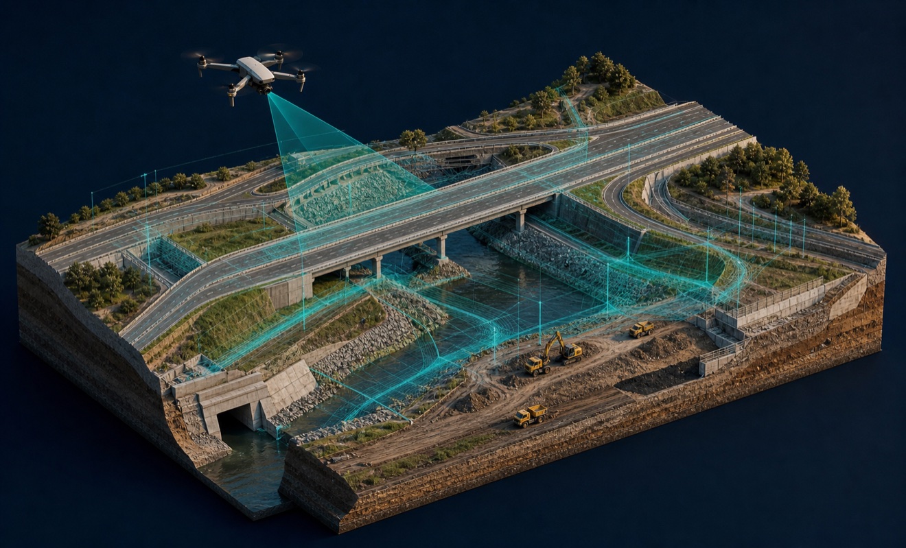
Civil engineering

Construction
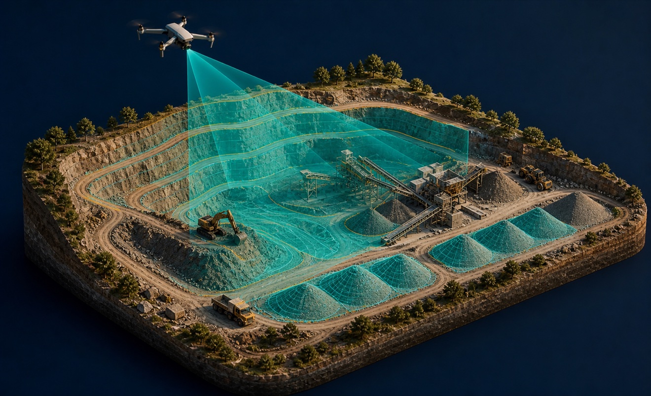
Mining and aggregates

Solar energy

Surveyors and developers

Utilities

Waste management
Provider capabilities
Deliverables

Construction progress imagery
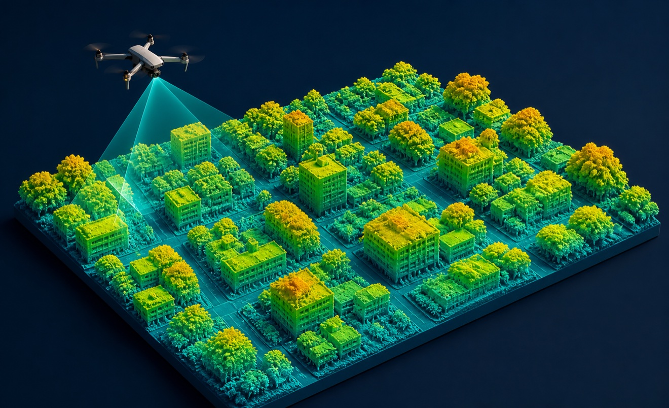
Digital surface model
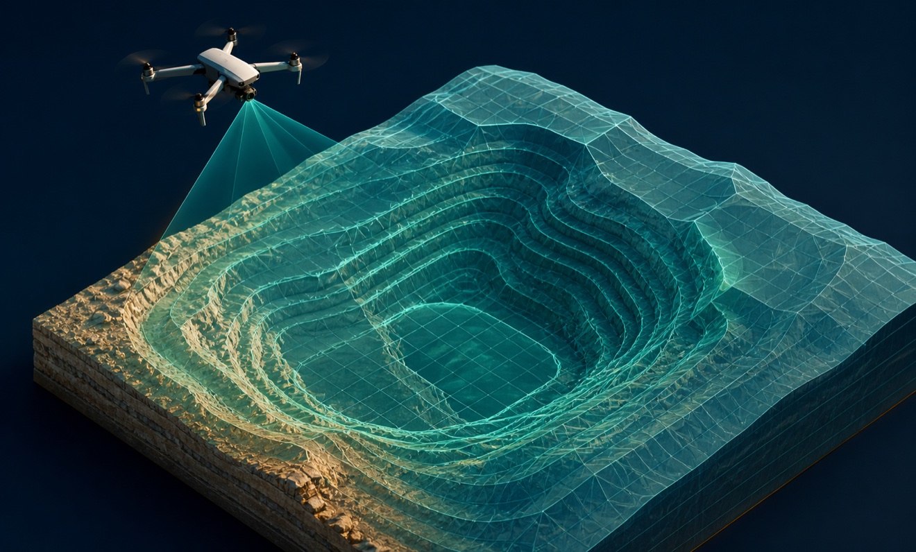
Digital terrain model

Orthomosaic

Point cloud
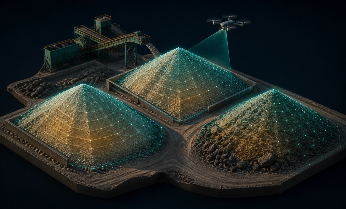
Stockpile volumes

Topographic map