

Skyline Drone Mapping
Produces survey-oriented mapping, measurements, models, and inspection data for Gulf Coast commercial and infrastructure projects.
Provider overview
About Skyline Drone Mapping
Skyline Drone Mapping is a Corpus Christi, Texas provider serving construction and development, surveyors, utilities, energy, agriculture, mining, waste management, real estate, government, and infrastructure customers. It serves Corpus Christi and Gulf Coast communities while identifying broader Texas coverage. Its operating model combines aerial data collection with mapping, surveying, inspections, measurements, 3D modeling, and media deliverables for commercial project workflows.
Provider profile
Profile highlights
Five Service Pillars
The services page groups work into mapping, inspection, measurement, 3D modeling, and creative categories.
Licensed Survey Partnerships
The surveying page describes licensed survey partnerships supporting stamped survey deliverables.
Provider profile
Specialties
Survey-Grade Mapping
Skyline’s mapping workflow covers orthomosaic mapping, topographic mapping, drone surveying, and LiDAR mapping, with licensed survey partnerships supporting professional survey and engineering workflows across Texas projects for construction, development, engineering, and surveying teams.
Provider capabilities
Capabilities
Provider capabilities
Industries served

Civil engineering

Construction

Energy and oil & gas
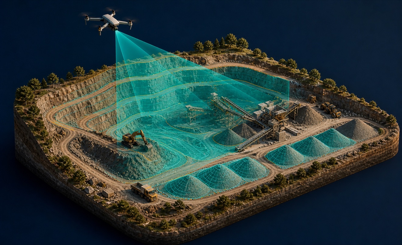
Mining and aggregates

Solar energy

Surveyors and developers

Utilities

Waste management
Provider capabilities
Deliverables

3D model

Construction progress imagery
Crop health map

Digital surface model
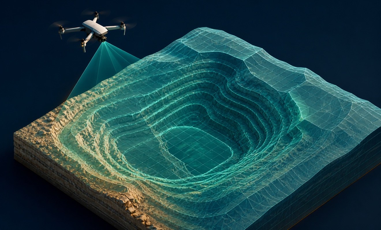
Digital terrain model

Orthomosaic

Point cloud
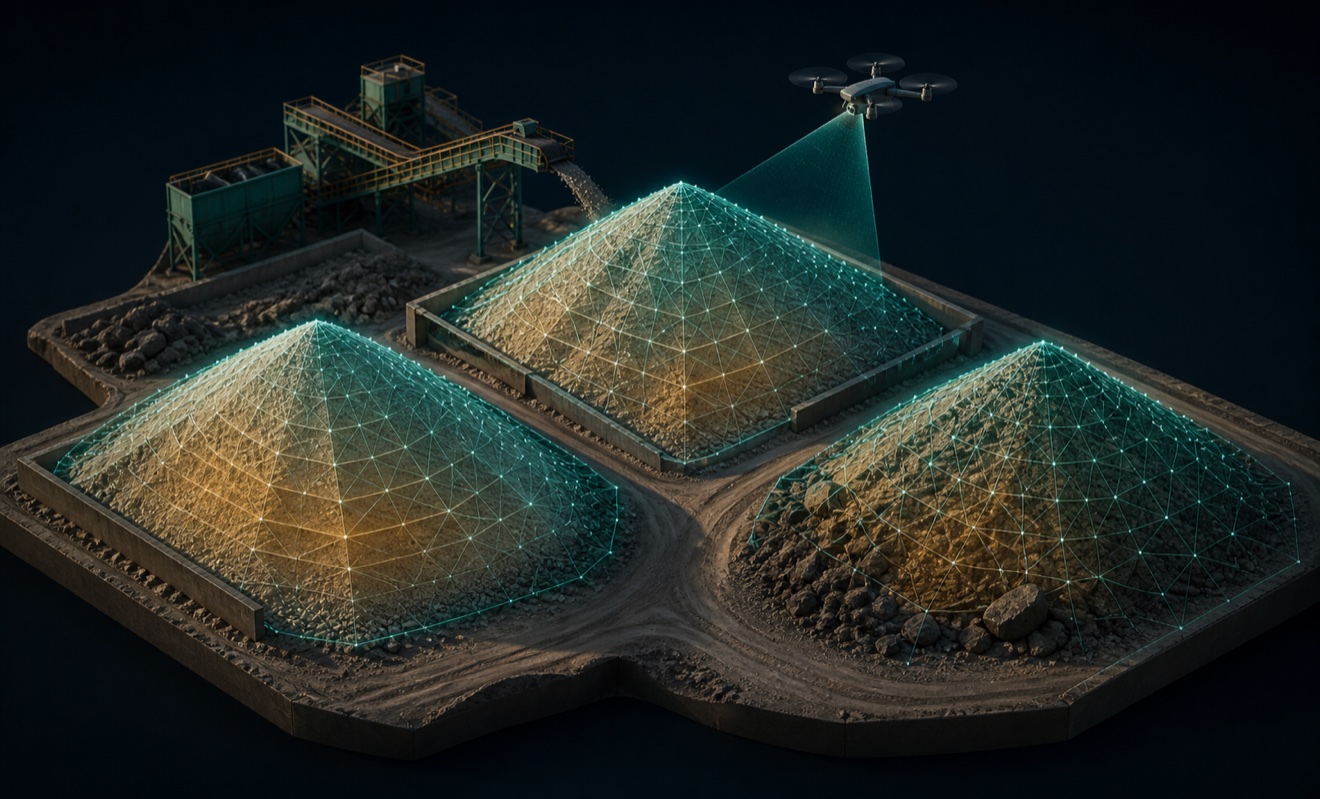
Stockpile volumes

Thermal inspection report

Topographic map