Professional Drone Services of Texas
Provides mapping, inspections, thermal imaging, photography, and video for Texas construction, energy, infrastructure, property, and surveying projects.
Provider overview
About Professional Drone Services of Texas
Professional Drone Services of Texas provides commercial drone mapping, inspection, thermal imaging, photography, and video services. Based in Texas, it serves construction, energy, engineering, infrastructure, property, and surveying projects in Austin, Corpus Christi, elsewhere in Texas, and nationwide. Customers engage the company for project-based site intelligence, including aerial data collection, visual documentation, thermal assessments, and mapped outputs.
Provider profile
Why consider this provider
The provider fits projects requiring combined aerial documentation, mapping, or inspection across commercial sites. Its demonstrated scope is particularly relevant to construction monitoring, infrastructure assessment, thermal inspection, survey-oriented mapping, and energy assets where customers need visual or geospatial project outputs.
Provider profile
Profile highlights
Texas and Nationwide
The company accepts projects across Texas and elsewhere in the United States.
Methane Detection
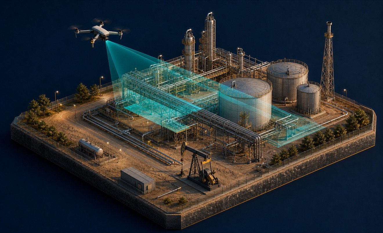
Corpus Christi services include unmanned aerial gas leak detection.
Mapped Deliverables
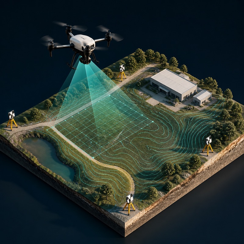
Validated outputs include orthomosaics, point clouds, topographic maps, and 3D models.
Thermal Applications
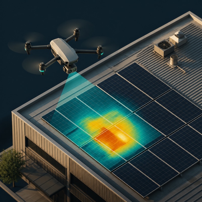
Thermal imaging supports solar, pipeline, utility, roof, and industrial inspections.
Provider profile
How they can help
Track Construction
Capture recurring aerial imagery and video for construction progress monitoring.
Map Project Sites
Produce survey-oriented orthomosaics, point clouds, topographic maps, and 3D models.
Inspect Assets
Document roofs, façades, cell towers, utilities, and other infrastructure from the air.
Identify Thermal Anomalies
Collect thermal imagery for solar arrays, buildings, pipelines, and industrial assets.
Provider profile
Specialties
Aerial Methane Detection
The Corpus Christi service offering specifically includes unmanned aerial gas leak detection alongside inspection, thermal imaging, and mapping. This creates a focused option for energy and industrial projects that need aerial methane screening within a broader site-data engagement.
Solar Thermal Inspection
The company addresses aerial thermal inspection at solar-farm scale, including inspection timing, data limitations, and integration with operations and maintenance programs. This focus supports asset teams evaluating thermal anomalies and potential performance losses across large solar installations.
Provider capabilities
Deliverables

Orthomosaic

Point cloud
Thermal inspection report

Topographic map
Provider capabilities
Industries served

Agriculture

Construction
Energy and oil & gas

Insurance and roofing

Solar energy

Surveyors and developers

Utilities
Provider capabilities
Capabilities

3D modeling

Aerial photography

Aerial video production
Cell tower inspection

Construction progress monitoring
Cut & fill analysis

Drone inspection
Facade inspection
Methane leak detection

Photogrammetry

Real estate drone media

Roof inspection
Solar thermal inspection
Survey-grade mapping
Thermal inspection

Utility inspection
Utility vegetation encroachment inspection
Provider capabilities
Equipment

RTK-enabled drone