Pilot Lens
Combines technical aerial capture with finished media for Austin construction, development, industrial, surveying, and roofing assignments.
Provider overview
About Pilot Lens
Pilot Lens is an Austin, Texas-based commercial drone and media production provider serving businesses. Its operating model combines licensed, insured drone pilots with media professionals for aerial data capture and visual production. Documented work spans construction progress tracking, surveying and mapping outputs, industrial applications, roof inspections, photography, videography, time-lapse, and post-production.
Provider profile
Why consider this provider
Pilot Lens fits Austin-area construction, development, industrial, and roofing projects needing aerial documentation or mapped site data. Its combined drone and media model also suits assignments requiring both technical capture and finished visual content from one provider.
Provider profile
Profile highlights
FAA Licensed
The company identifies its drone operations as FAA licensed.
$10M Insured
Pilot Lens states that it carries $10 million in insurance.
RTK Point Clouds
RTK drone workflows support point-cloud creation for construction and land development.
Austin Based
The company provides commercial drone services from Austin, Texas.
Provider profile
How they can help
Track Construction
Document project progress through recurring aerial capture and time-lapse production.
Map Project Sites
Produce orthomosaics, topographic maps, point clouds, and 3D site models.
Measure Stockpiles
Capture aerial data used to calculate and document stockpile volumes.
Inspect Roofs
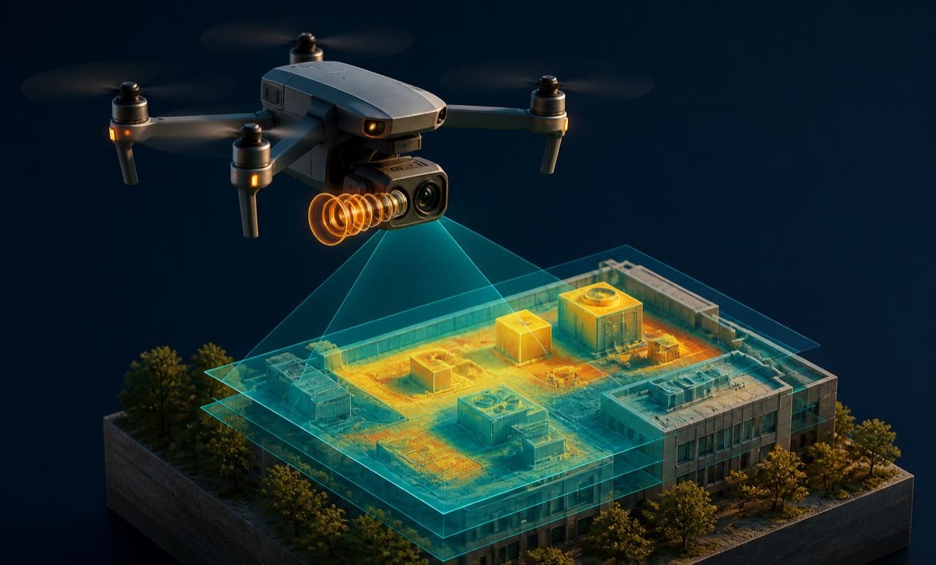
Collect visual and thermal roof data without routine close-access capture.
Provider profile
Specialties
Construction Site Data
Pilot Lens demonstrates a construction-focused workflow using RTK-enabled drones and photogrammetry to create point clouds, orthomosaics, topographic maps, and 3D models. These outputs support site analysis, planning, progress tracking, as-built verification, stockpile measurement, and quality-control documentation.
Drone and Media Production
The company combines technical drone capture with photography, cinematography, videography, time-lapse, and post-production. This operating model can support customers who need mapped project information alongside presentation-ready visual documentation from the same Austin-based provider.
Provider capabilities
Deliverables
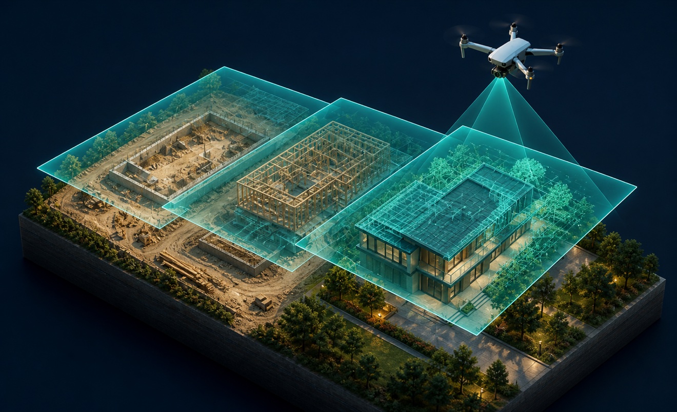
Construction progress imagery

Orthomosaic

Point cloud

Topographic map
Provider capabilities
Industries served

Construction

Solar energy

Surveyors and developers
Telecommunications
Provider capabilities
Capabilities
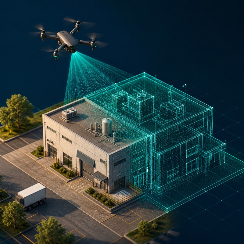
3D modeling
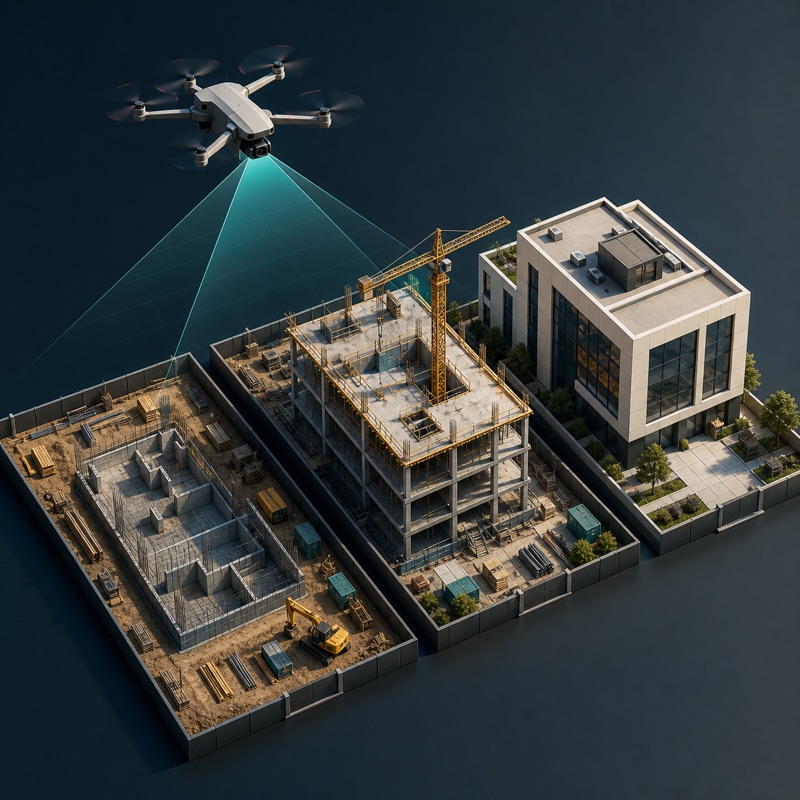
Construction progress monitoring
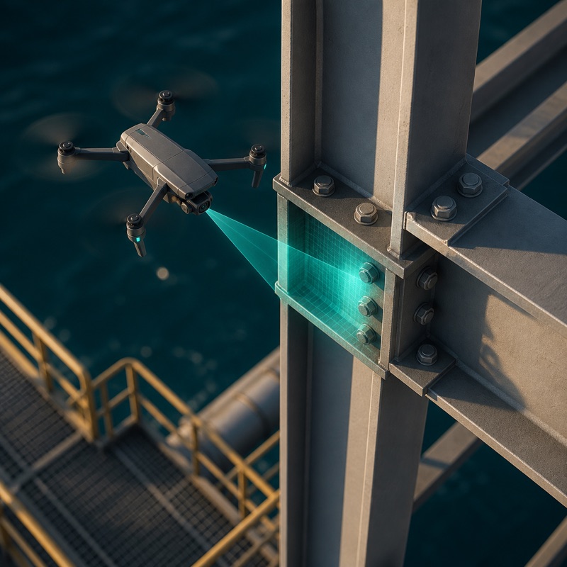
Drone inspection
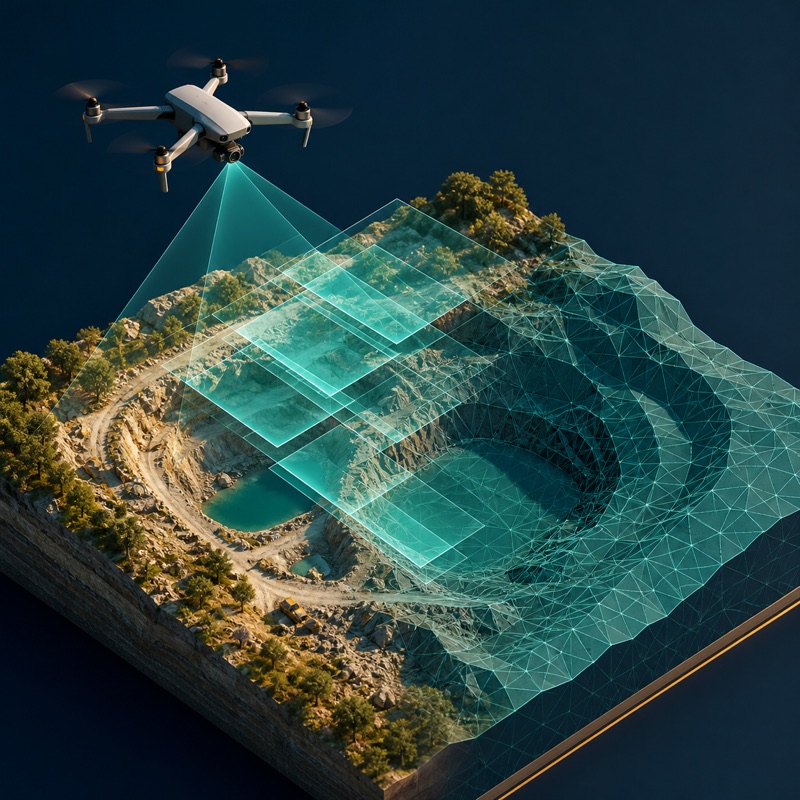
Photogrammetry
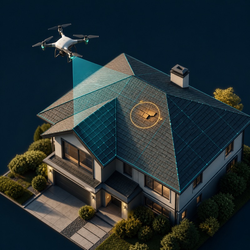
Roof inspection
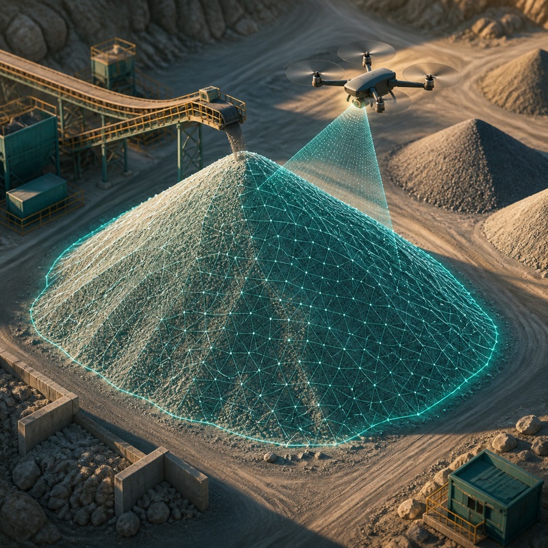
Stockpile measurement
Provider capabilities
Equipment
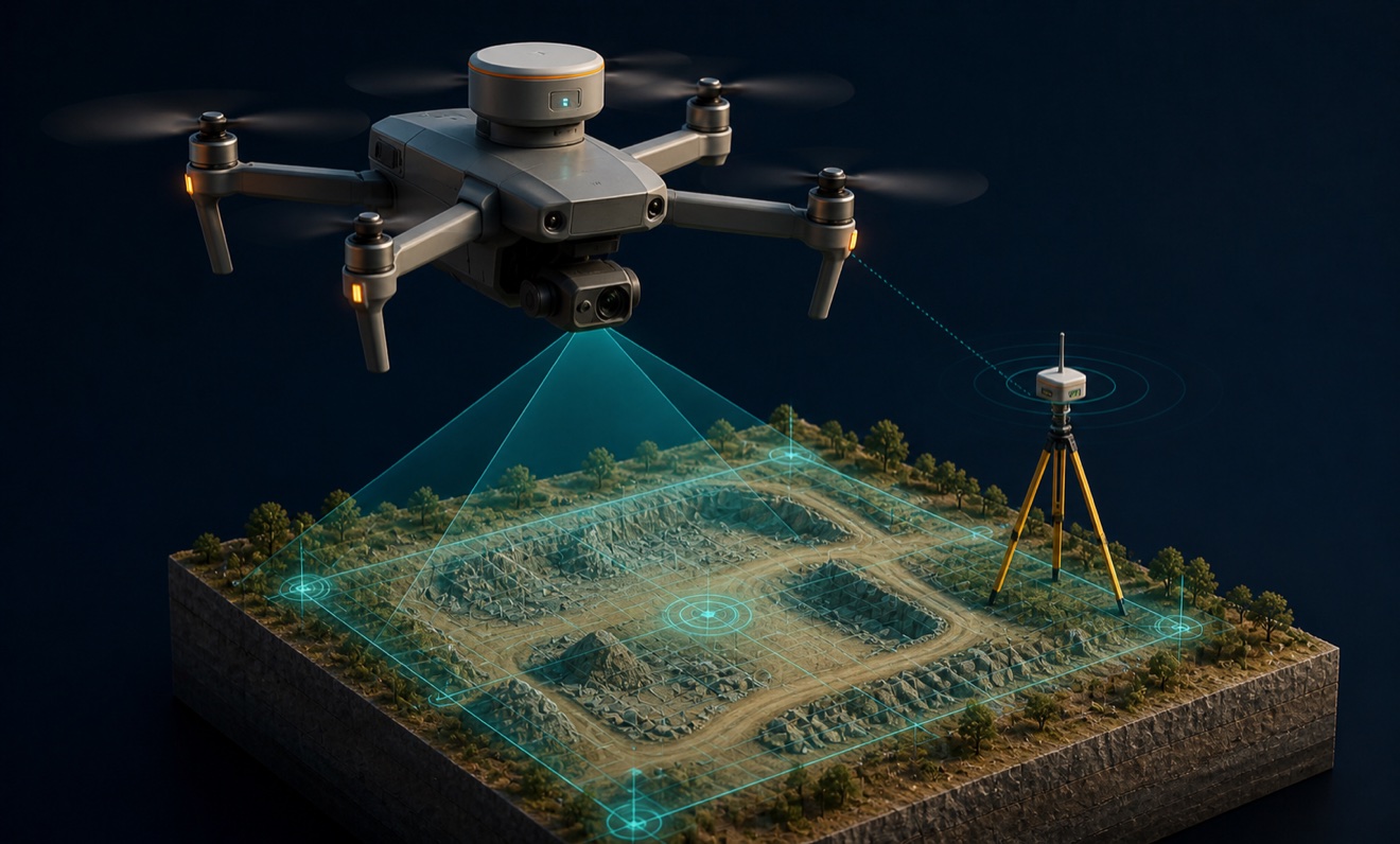
RTK-enabled drone