

Nadar Drone Aerial Photography & Inspection
NADAR provides drone imaging, mapping, inspection, and monitoring services for Houston-area property and land projects.
Provider overview
About Nadar Drone Aerial Photography & Inspection
NADAR’s Houston operation serves construction teams, surveyors, developers, property marketers, agricultural users, and solar operators. It combines local drone pilots with a national service-company model, supporting projects ranging from site documentation and real estate imagery to mapping and asset inspection. Published service pages also cover residential, commercial, industrial, and land-based applications.
Provider profile
Profile highlights
Mapping Deliverables
Available outputs include orthomosaics, point clouds, terrain models, and topographic maps.
Construction Coverage
Services include construction monitoring, surveying, mapping, and project photography.
Property Inspections
Dedicated services cover buildings, roofs, solar panels, and installation mapping.
Local Pilot Network
The Houston page identifies nearby pilots within a national service-company network.
Provider profile
Specialties
Surveying and Mapping
NADAR publishes dedicated surveying, topographic mapping, construction mapping, and work-product pages. Demonstrated outputs include orthomosaics, point clouds, digital terrain models, 3D models, topographic maps, and stockpile volume calculations for surveyors, developers, and construction users.
Provider capabilities
Capabilities
Provider capabilities
Industries served

Construction

Solar energy

Surveyors and developers
Provider capabilities
Deliverables

3D model
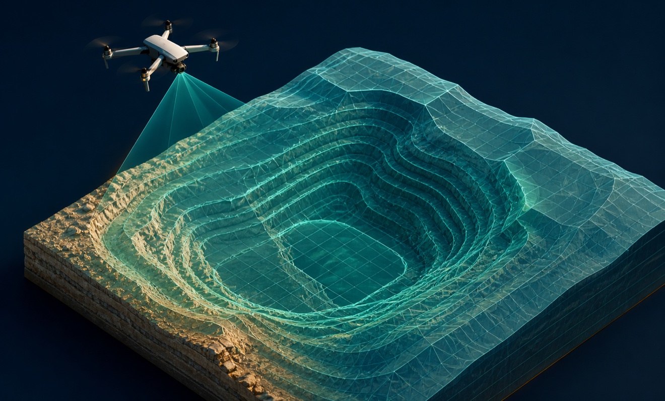
Digital terrain model

Orthomosaic

Point cloud

Stockpile volumes
