iSight Drone Services
Collects maps, models, measurements, and inspection data for agricultural, construction, energy, telecommunications, insurance, and roofing customers.
Provider overview
About iSight Drone Services
iSight Drone Services is a Grand Forks-based commercial drone provider serving agriculture, construction, energy, telecommunications, insurance, and roofing customers. Its pilot-led operating model supports aerial data collection, mapping, modeling, measurement, and asset inspections. Demonstrated work includes solar and commercial roof inspections, orthomosaic mapping, 3D captures, terrain data collection, and agricultural rock mapping.
Provider profile
Why consider this provider
The provider fits projects combining aerial fieldwork with usable mapping, modeling, measurement, or inspection outputs. Its clearest applications involve terrain and site documentation, agricultural field preparation, construction assessment, and remote inspection of distributed energy, telecommunications, and roofing assets.
Provider profile
Profile highlights
LiDAR terrain data
Collects survey-quality terrain measurements for engineering use.
Rock mapping workflow
Maps field rocks before planting and equipment operations.
Multi-sector inspections
Supports power lines, solar panels, cell towers, turbines, roofs, and oil fields.
Commercial project history
Customer examples include infrared solar, roof, orthomosaic, and 3D capture projects.
Provider profile
How they can help
Document site conditions
Produce spatial outputs for planning, engineering, construction, and progress assessment.
Inspect remote assets
Capture visual or thermal data from elevated and distributed infrastructure.
Measure material volumes
Generate aerial data for stockpile measurement and site tracking.
Support field preparation
Locate rocks before planting or equipment enters agricultural fields.
Provider profile
Specialties
LiDAR terrain mapping
The company presents LiDAR as a survey-quality terrain-data service producing millions of measurements per flight. Its stated emphasis is precise site representation and data that engineers can use, with applications spanning multiple jobs normally requiring separate collection methods.
Agricultural rock mapping
iSight offers drone-based rock mapping intended to identify field rocks before they interrupt planting or damage equipment. The service is presented as a precision-flying workflow connected to field-clearing decisions and seasonal agricultural operations.
Provider capabilities
Deliverables

Orthomosaic

Point cloud

Topographic map
Provider capabilities
Industries served

Agriculture

Construction
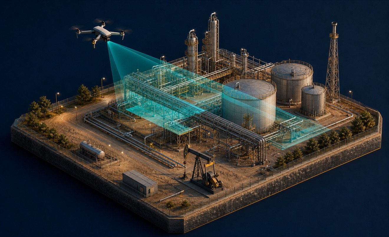
Energy and oil & gas
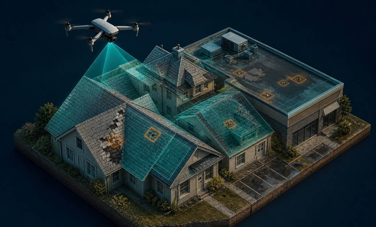
Insurance and roofing

Solar energy
Telecommunications
Provider capabilities
Capabilities

3D modeling
Cell tower inspection
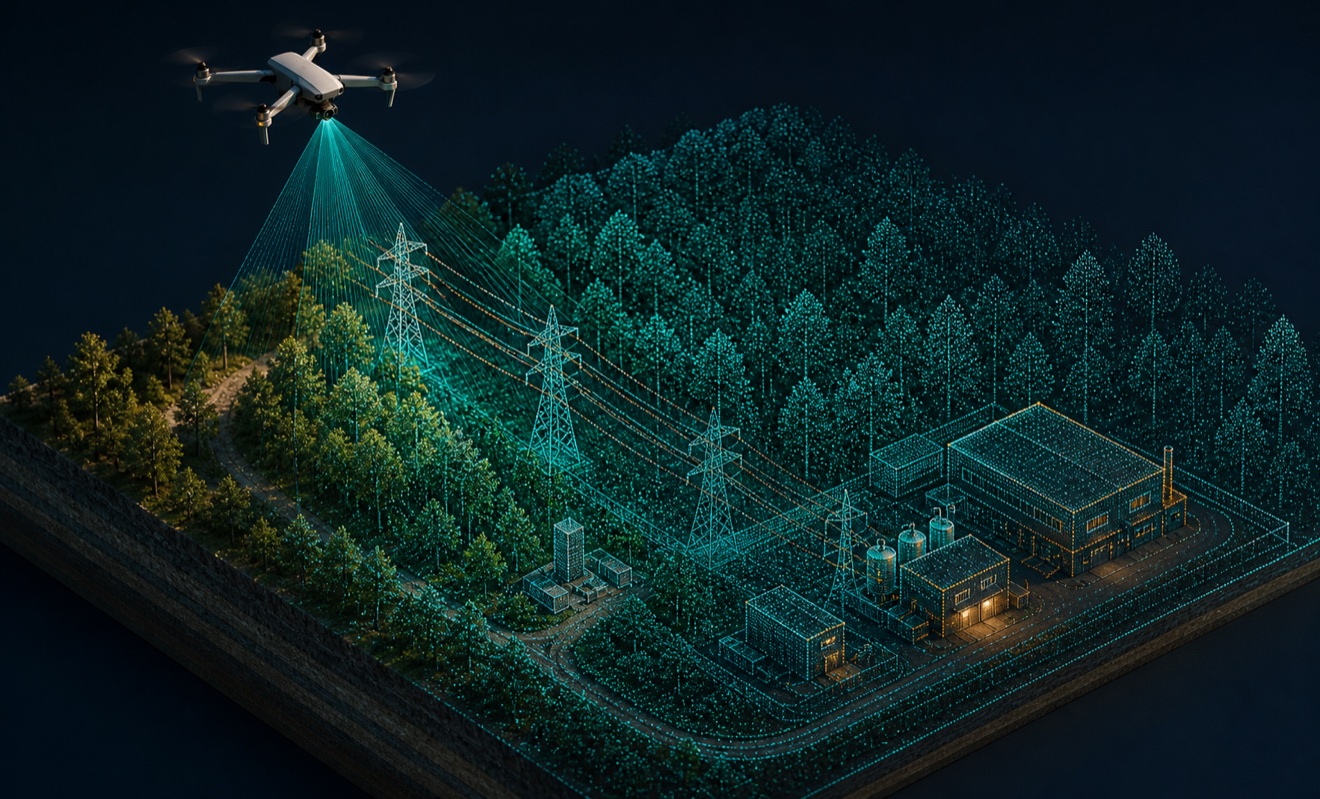
LiDAR mapping
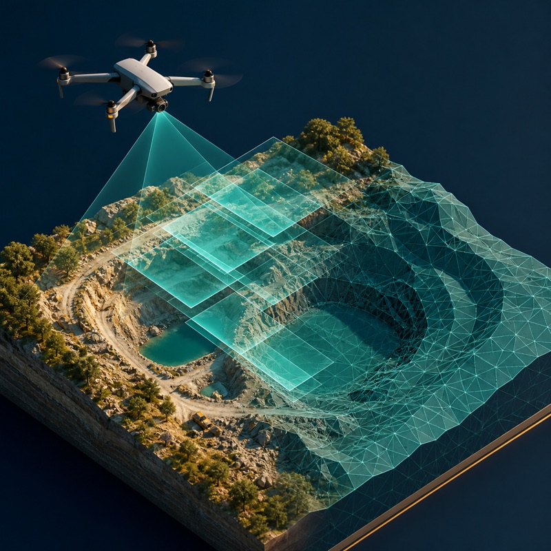
Photogrammetry
Precision agriculture

Roof inspection
Solar thermal inspection

Stockpile measurement
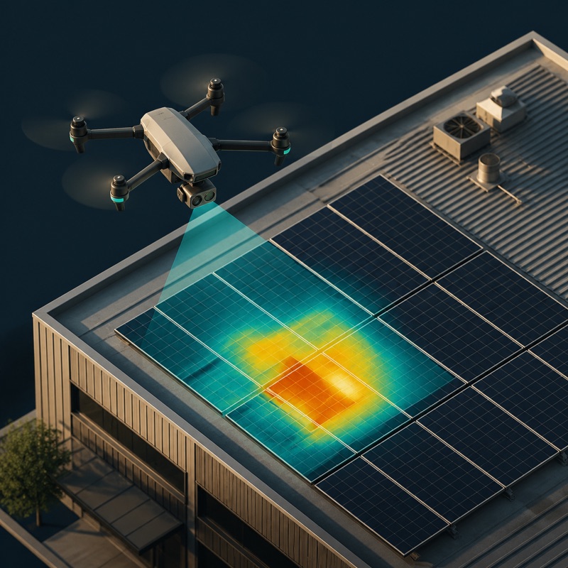
Thermal inspection