Foley Specialty Services - Nondestructive Testing & Drone Services
Foley Specialty Services provides drone-enabled inspection and reality-capture services for industrial and construction projects.
Provider overview
About Foley Specialty Services - Nondestructive Testing & Drone Services
Foley Specialty Services combines unmanned inspections, mapping, LiDAR, aerial photography, and nondestructive examination for construction, mining, aggregate, and industrial customers. The website presents a project-based service model spanning aerial, ground, confined-space, underwater, and pipe-crawler methods. Its operating location and geographic service area are not identified in the supplied pages.
Provider profile
Why consider this provider
The provider fits projects requiring inspection and spatial documentation across difficult-access industrial, construction, or aggregate environments. Its combined unmanned, ground-based, confined-space, crawler, and underwater methods may suit assignments involving several asset types or capture conditions.
Provider profile
Profile highlights
Multiple Inspection Platforms
Methods include aerial drones, pipe crawlers, confined-space systems, and underwater ROVs.
Reality Capture Options
Foley offers both aerial and ground-based reality-capture services.
API and AWS Work
Dedicated API and AWS inspection services support applicable industrial assets.
Provider profile
How they can help
Document Project Change
Create visual records for monitoring construction progress over time.
Map Complex Sites
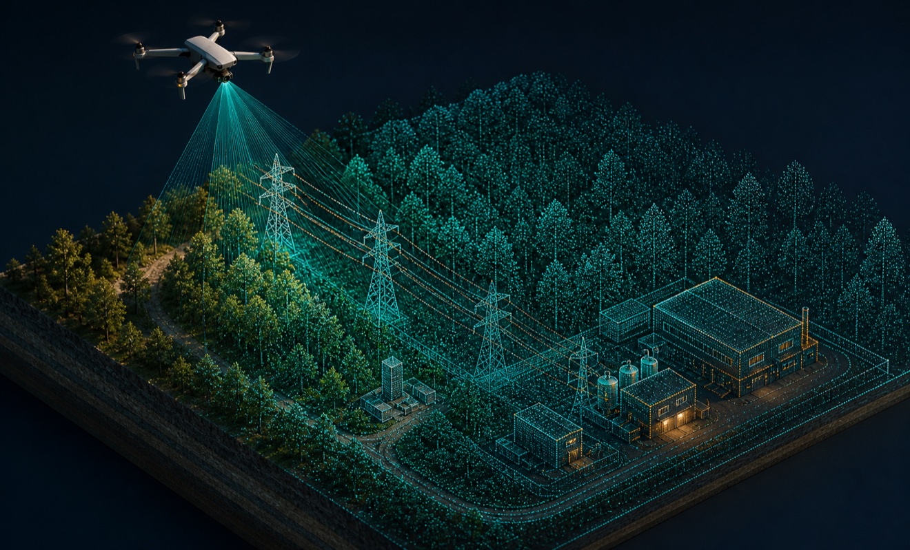
Produce LiDAR-derived point clouds and three-dimensional site models.
Inspect Difficult Areas
Examine confined, underwater, internal, or elevated assets using remote platforms.
Identify Methane Leaks
Use drone inspection workflows to support methane leak detection.
Provider profile
Specialties
Multi-Platform Remote Inspection
Foley presents remote inspection methods for external and internal assets, confined spaces, piping, underwater structures, and aerial viewpoints. This range supports projects where access conditions vary across a facility or site.
LiDAR Reality Capture
The provider combines mapping and LiDAR with aerial and ground-based reality capture. Validated outputs include point clouds and three-dimensional models, supporting spatial documentation for construction, mining, and aggregate project environments.
Provider capabilities
Deliverables

Point cloud
Provider capabilities
Industries served

Construction
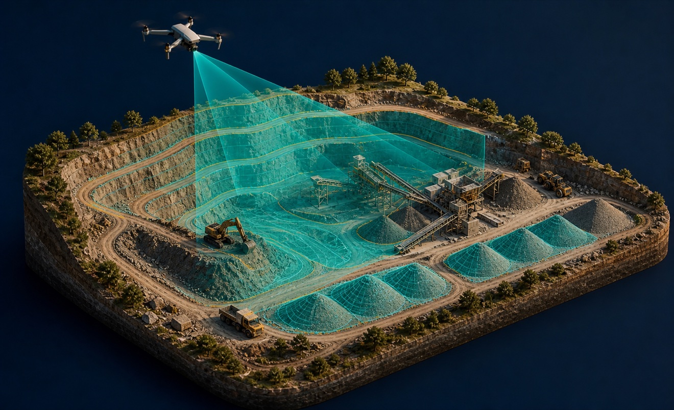
Mining and aggregates
Provider capabilities
Capabilities
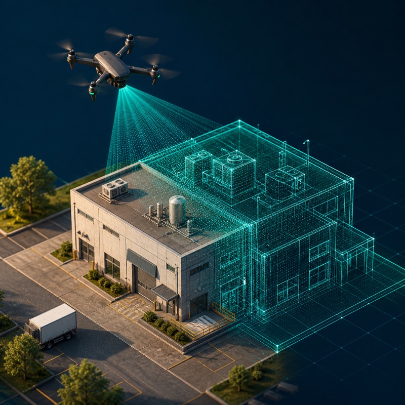
3D modeling
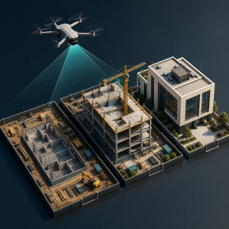
Construction progress monitoring
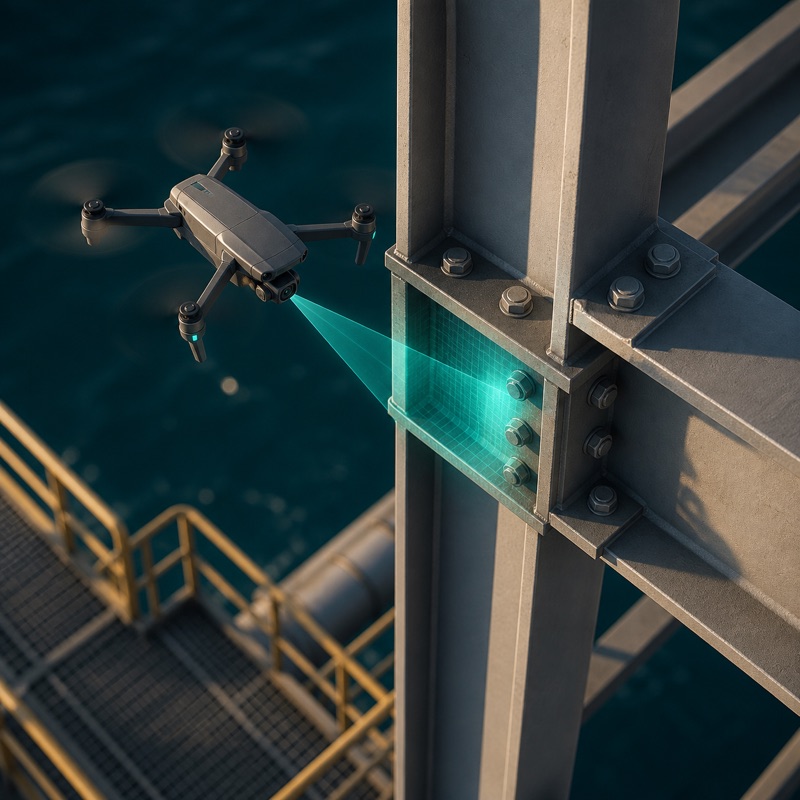
Drone inspection