FlyGuys
Coordinates nationwide pilots for repeatable aerial mapping, inspection, measurement, and multisensor capture across distributed commercial sites.
Provider overview
About FlyGuys
FlyGuys provides nationwide aerial data collection through an on-demand pilot network. It serves surveyors, developers, construction and engineering teams, agricultural operators, telecommunications providers, utilities, and energy companies. Its service model spans individual site assignments and scalable multi-location programs, with offerings covering aerial imaging, inspections, surveying, mapping, LiDAR, thermal and multispectral capture, and volumetric measurement.
Provider profile
Why consider this provider
FlyGuys fits organizations needing standardized aerial data collection across one or multiple locations, particularly for surveying, construction, infrastructure, energy, agriculture, and telecommunications work. Its combined pilot network and sensing options suit projects requiring repeatable capture without maintaining an internal drone operation.
Provider profile
Profile highlights
Nationwide pilot network
On-demand pilots support individual sites and geographically distributed programs.
LiDAR data capture
Precision LiDAR services address mapping, measurement, vegetation, and difficult terrain.
Multiple sensing methods
Premium services include thermal, multispectral, ground-control, and laser-scanning options.
Site volume measurement
Drone-based volumetrics support stockpile measurement and 3D imaging.
Provider profile
How they can help
Map project sites
Capture LiDAR or photogrammetric data for topographic, terrain, point-cloud, and 3D outputs.
Monitor construction
Document site progress, earthwork, and changing conditions through recurring aerial capture.
Inspect distributed assets
Collect visual or thermal data from towers, utilities, solar sites, and energy infrastructure.
Measure material volumes
Produce stockpile measurements and volumetric models for construction, engineering, and aggregate operations.
Provider profile
Specialties
Scalable LiDAR capture
FlyGuys combines precision LiDAR collection with a nationwide pilot network, supporting terrain mapping, vegetation penetration, large-area coverage, and digital representations for surveying, construction, engineering, utilities, and other geographically distributed projects.
Energy asset data collection
The company documents energy infrastructure using inspection, mapping, and thermal methods across solar farms, wind turbines, pipelines, refineries, drilling sites, offshore platforms, and telecommunications assets, with applications spanning condition review, site planning, and encroachment monitoring.
Provider capabilities
Deliverables

Digital terrain model

Orthomosaic

Point cloud

Stockpile volumes

Topographic map
Provider capabilities
Industries served

Agriculture

Civil engineering

Construction

Energy and oil & gas

Mining and aggregates

Solar energy

Surveyors and developers
Telecommunications

Utilities
Provider capabilities
Capabilities

3D modeling

Aerial photography
Cell tower inspection

Construction progress monitoring
Digital twin capture
Ground control services

LiDAR mapping
Methane leak detection
Multispectral mapping

Photogrammetry
Pipeline encroachment patrol
Precision agriculture

Roof inspection
Solar thermal inspection

Stockpile measurement
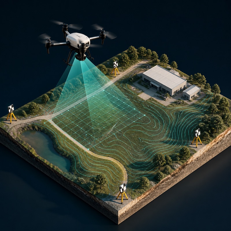
Survey-grade mapping
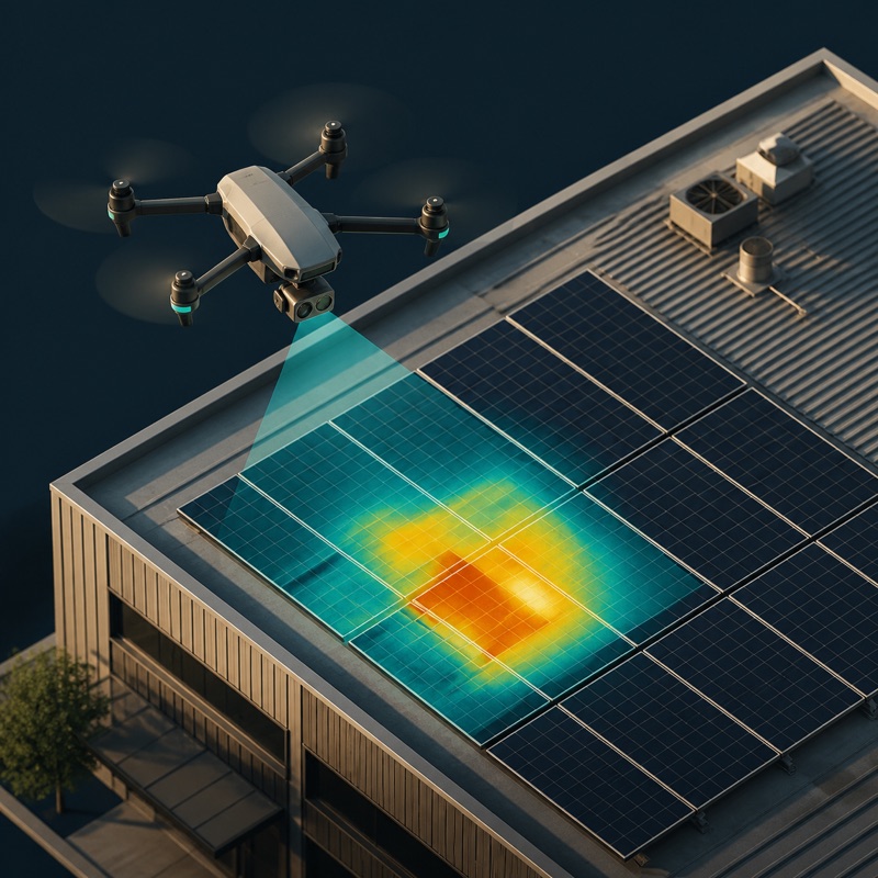
Thermal inspection

Utility inspection
Wind turbine inspection
Provider capabilities
Equipment

DJI Matrice 350 RTK

DJI Matrice 4E

DJI Mavic 3 Thermal
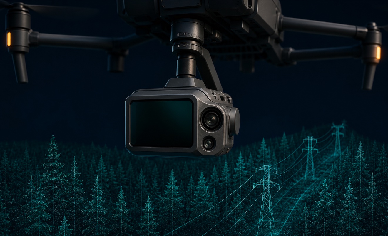
DJI Zenmuse L2

Multispectral sensor

RTK-enabled drone