First to Fly Drone Services LLC
First to Fly provides aerial documentation, mapping, and property media for construction and real estate clients in Greater Houston.
Provider overview
About First to Fly Drone Services LLC
First to Fly Drone Services LLC is a veteran-owned provider based in Cypress, Texas, serving construction and real estate customers across Greater Houston. Its project work includes recurring aerial progress documentation, FPV milestone video, site records, stakeholder reporting, property media, and photogrammetric mapping deliverables. Construction engagements can follow consistent flight paths and a monthly retainer model.
Provider profile
Why consider this provider
The provider fits Greater Houston construction projects needing recurring visual records, stakeholder updates, or mapped site outputs. It also supports commercial and residential property teams seeking aerial media, with FPV fly-throughs available for interior or milestone documentation.
Provider profile
Profile highlights
Recurring Documentation
Monthly retainers support consistent construction progress records over time.
Repeatable Flight Paths
Consistent flight paths enable comparable point-in-time site documentation.
Mapping Deliverables
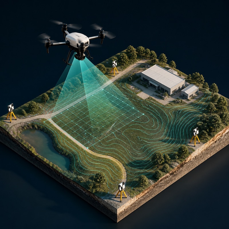
Outputs include orthomosaics, point clouds, surface models, and 3D models.
Veteran Owned
The Cypress-based company identifies itself as a veteran-owned aerial services provider.
Provider profile
How they can help
Track Site Progress
Create repeatable aerial records for comparing construction conditions across milestones.
Update Stakeholders
Provide site imagery and reporting materials for teams monitoring project progress.
Map Project Sites
Produce orthomosaics, point clouds, surface models, and 3D site representations.
Present Properties
Capture aerial media for commercial and residential real estate listings or presentations.
Provider profile
Specialties
Construction Documentation
Recurring flights can document construction progress through consistent aerial viewpoints, point-in-time site records, milestone FPV video, and stakeholder reporting. The monthly retainer option supports projects that need an ongoing visual record rather than a single flight.
Provider capabilities
Deliverables
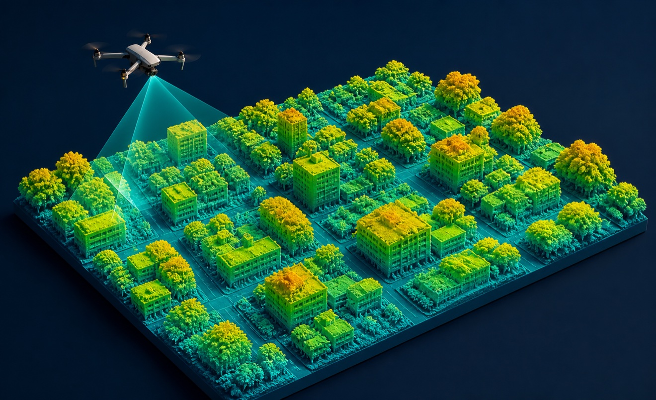
Digital surface model

Orthomosaic

Point cloud
Provider capabilities
Industries served

Construction

Utilities
Provider capabilities
Capabilities
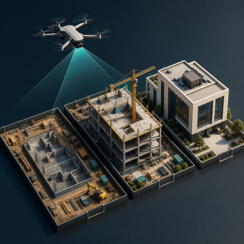
Construction progress monitoring
FPV interior fly-through video

Photogrammetry

Real estate drone media