
Firmatek
Turns aerial field collection into measurements, maps, inspections, and analytics for industrial and environmental operations.
Provider overview
About Firmatek
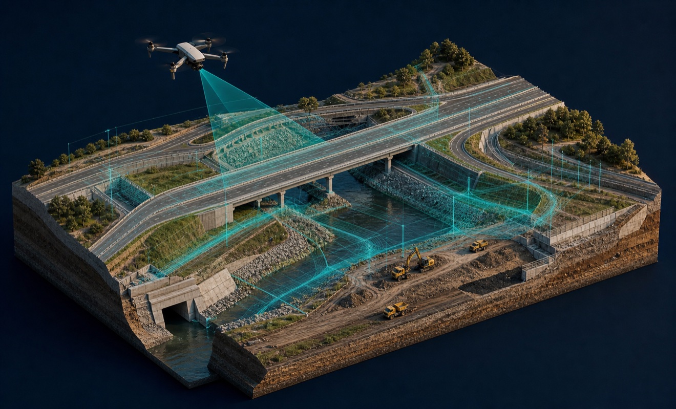
Firmatek provides drone aerial data capture, mapping, measurement, inspection, and analytics for organizations in construction, energy, electric utilities, mining and aggregates, and environmental and waste management. Its documented operating model combines field collection with data processing and analysis. The company’s energy materials state nationwide coverage, while its industry pages describe applications for operational planning, monitoring, and compliance.
Provider profile
Profile highlights
Nationwide Coverage
The energy practice states Firmatek offers nationwide coverage and rapid response.
Landfill Data Outputs
Landfill services list ortho imagery, LAS point clouds, stockpile volumes, and topographic CAD.
Utility Inspection Scope
Electric utility deliverables include asset classification, thermal hot spots, and vegetation encroachment.
Reported Experience
The company reports millions of stockpiles measured and more than 30 years of experience.
Provider profile
Specialties
Industrial Volume Measurement
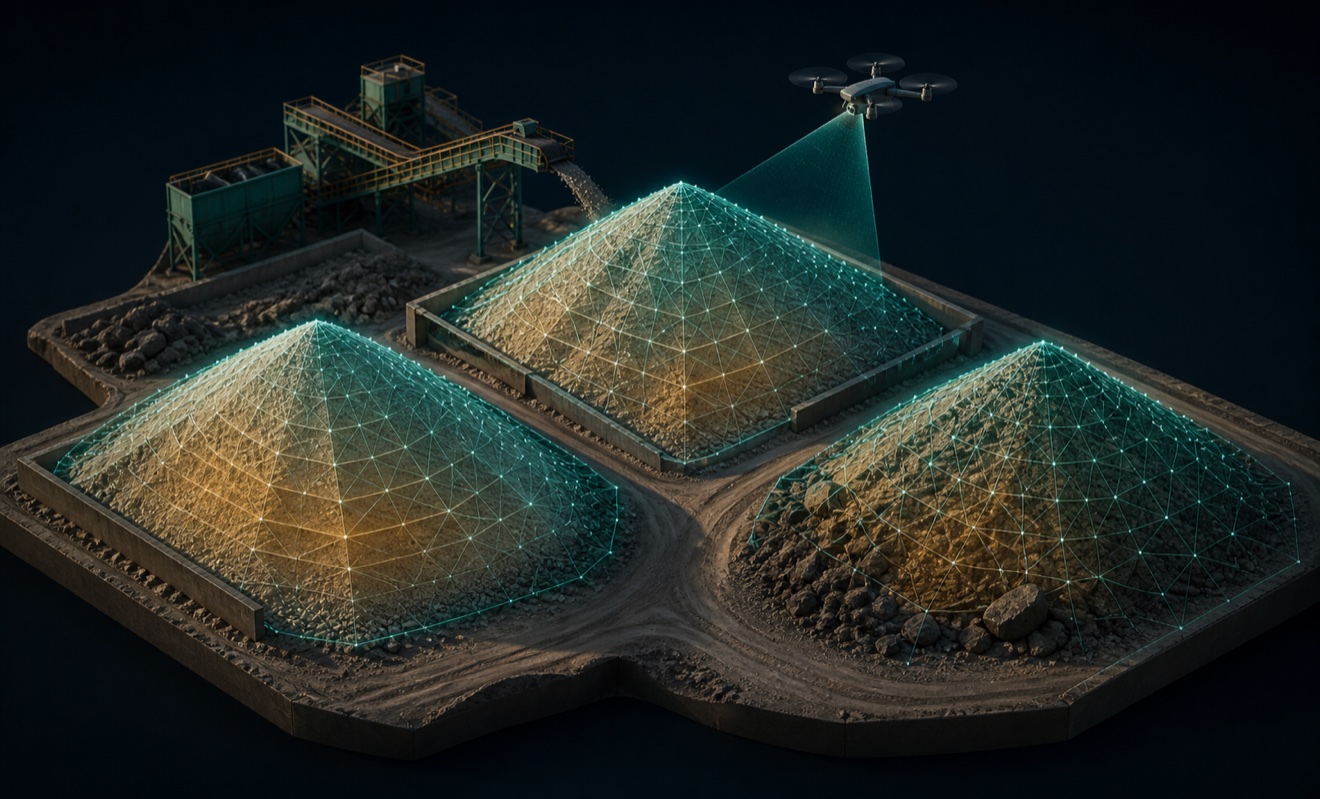
Firmatek’s environmental and mining pages emphasize stockpile measurement, volumetric calculations, topographic mapping, and operational tracking. Its landfill materials add ortho imagery, LAS point clouds, cut-and-fill calculations, and topographic CAD, demonstrating a focused workflow for recurring material inventories and site planning.
Provider capabilities
Capabilities
Provider capabilities
Industries served

Construction
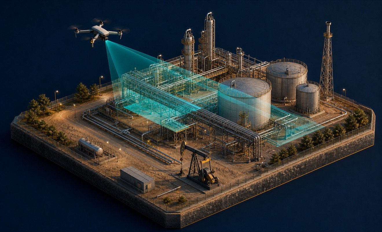
Energy and oil & gas
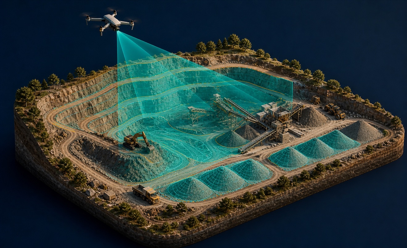
Mining and aggregates

Solar energy

Utilities

Waste management
Provider capabilities
Deliverables

3D model
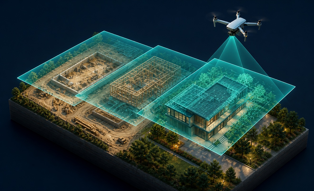
Construction progress imagery

Orthomosaic

Point cloud
Stockpile volumes

Topographic map