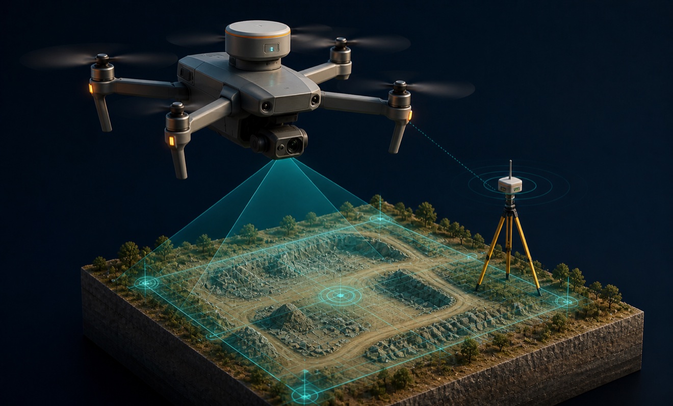
DroneView Technologies
Acquires and processes aerial imagery and LiDAR for surveying, engineering, infrastructure, environmental, and resource-management organizations nationwide.
Provider overview
About DroneView Technologies
DroneView Technologies provides high-accuracy aerial mapping and geospatial services to customers across the United States. It serves surveyors, developers, utilities, construction teams, and organizations in energy, mining, agriculture, telecommunications, and waste management. Its operating model combines drone and manned-aircraft imagery and LiDAR acquisition with in-house photogrammetric mapping, aerial triangulation, stereo compilation, and LiDAR processing.
Provider profile
Why consider this provider
A practical fit for organizations needing aerial acquisition and processed geospatial deliverables from one provider, particularly survey, civil engineering, construction, utility, aggregate, and waste-management projects requiring LiDAR, imagery, terrain mapping, measurement, or obstruction analysis.
Provider profile
Profile highlights
Dual Aircraft Options
Acquires aerial imagery and LiDAR using drones and manned aircraft.
Integrated Processing
Provides photogrammetric mapping, aerial triangulation, stereo compilation, and LiDAR processing.
Nationwide Coverage
Supplies mapping and geospatial solutions to customers throughout the United States.
Utility Project Evidence
Documents an electric utility mapping and inspection project.
Provider profile
How they can help
Map Existing Conditions
Produce orthomosaics, point clouds, terrain models, surface models, and topographic maps.
Measure Material Volumes
Calculate stockpile volumes for aggregate, construction, mining, and waste-management operations.
Support Survey Workflows
Supply aerial mapping inputs for surveyors, developers, civil engineers, GIS, CAD, and BIM workflows.
Document Infrastructure
Map electric utilities, solar sites, wind turbines, telecommunications assets, and airport obstructions.
Provider profile
Specialties
Integrated LiDAR Mapping
DroneView combines LiDAR and photogrammetry within an acquisition and processing workflow spanning drone and manned-aircraft platforms. Demonstrated outputs include point clouds, terrain and surface models, orthomosaics, topographic maps, and three-dimensional models for surveying and engineering applications.
Volume and Airspace Mapping
The company documents stockpile volume measurement for aggregate operations and topographic mapping and airspace measurement for solid-waste facilities. This focus supports recurring inventory, capacity, grading, and site-condition analysis where measured surfaces and volume reports are central deliverables.
Provider capabilities
Deliverables
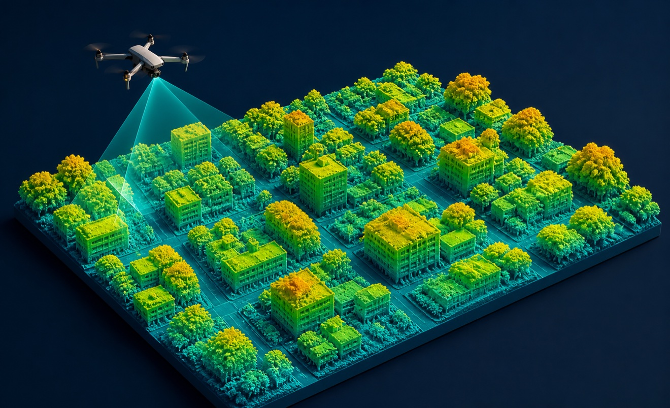
Digital surface model
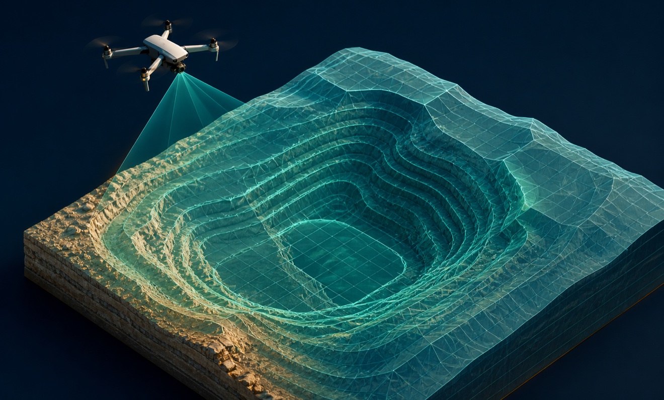
Digital terrain model

Orthomosaic

Point cloud

Topographic map
Volume report
Provider capabilities
Industries served

Agriculture

Civil engineering

Construction

Energy and oil & gas
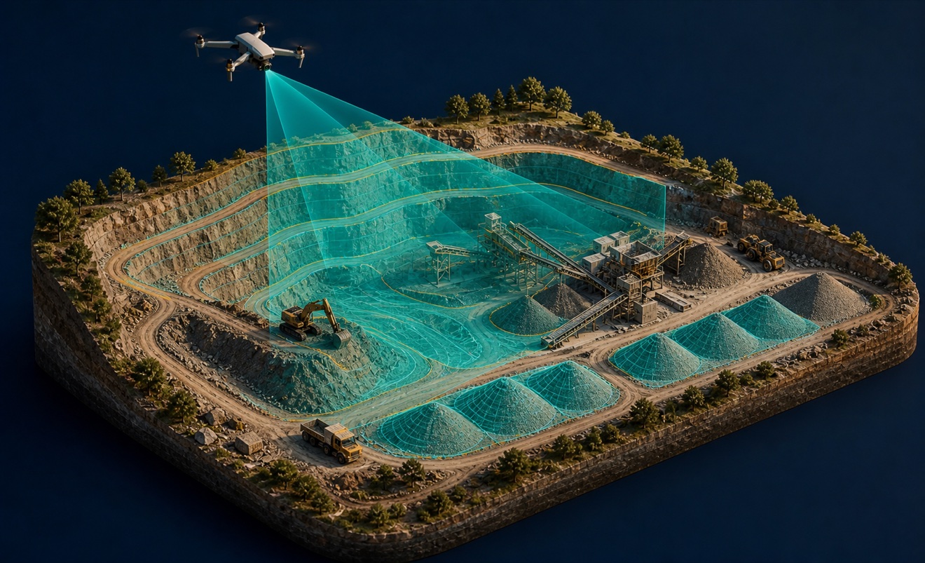
Mining and aggregates

Solar energy

Surveyors and developers
Telecommunications

Utilities
Waste management
Provider capabilities
Capabilities

3D modeling
Airport obstruction mapping
Bathymetric mapping
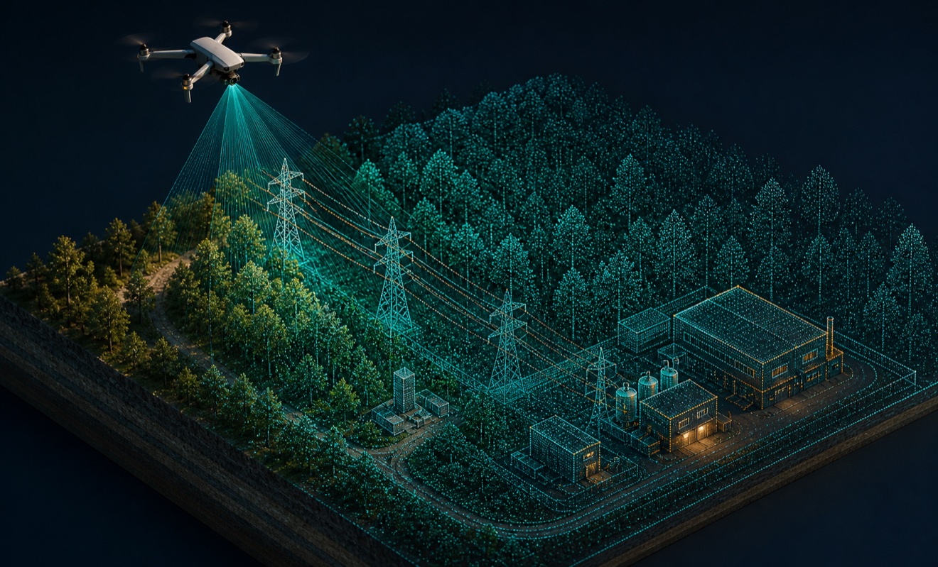
LiDAR mapping

Photogrammetry
Precision agriculture

Stockpile measurement
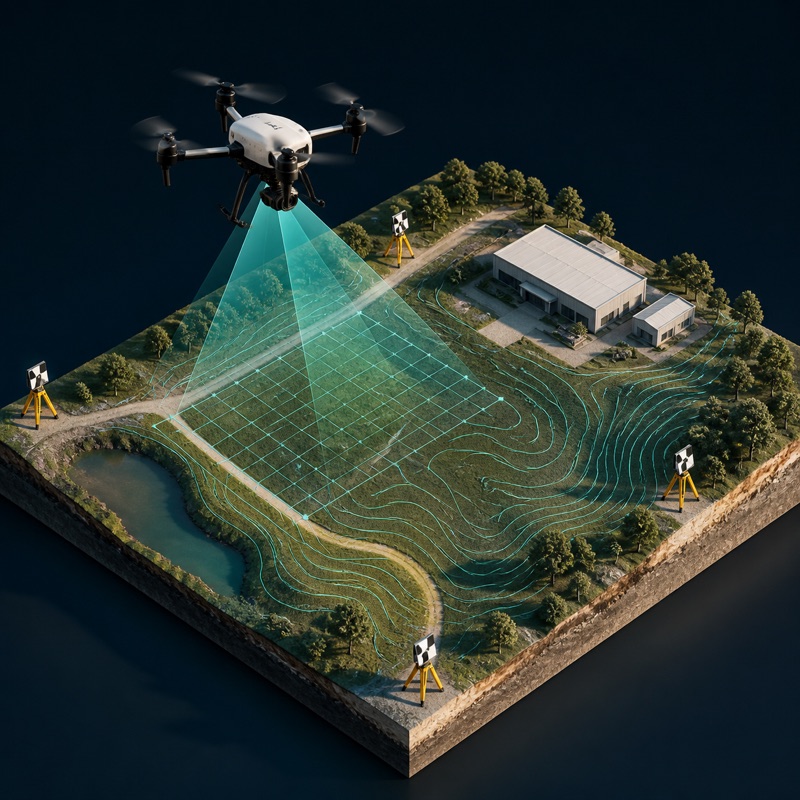
Survey-grade mapping
Wind turbine inspection
Provider capabilities
Equipment