
Drone Altitude
Provides commercial aerial documentation for property and construction teams across five Northeastern states.
Provider overview
About Drone Altitude
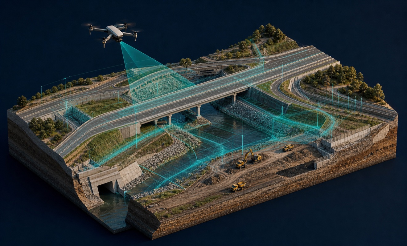
Drone Altitude serves commercial projects only across New Jersey, New York, Pennsylvania, Connecticut, and Delaware. Its pilot-led, studio-backed model supports general contractors, developers, lenders, and other commercial project teams with coordinated aerial documentation. The company presents its work through dedicated project programs and portfolio-oriented experiences, with inquiries initiated through a project brief.
Provider profile
Profile highlights
Commercial-Only Model
Projects are limited to commercial work under a pilot-led, studio-backed model.
Time-Lapse Options
Long-term programs can use either full-service management or a camera lease arrangement.
Portfolio Navigation
Linked 360° experiences let viewers move among multiple properties within a portfolio.
EEWS Project Work
EEWS documentation includes Vagelos Laboratory, Atrium Health Carolinas Medical Center, and Shreiber School projects.
Provider capabilities
Capabilities
Provider capabilities
Industries served

Construction
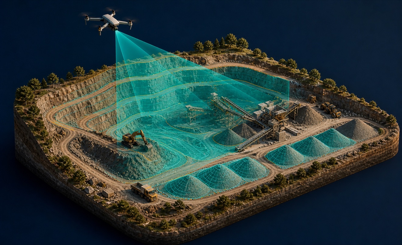
Mining and aggregates

Solar energy
Provider capabilities
Deliverables

3D model
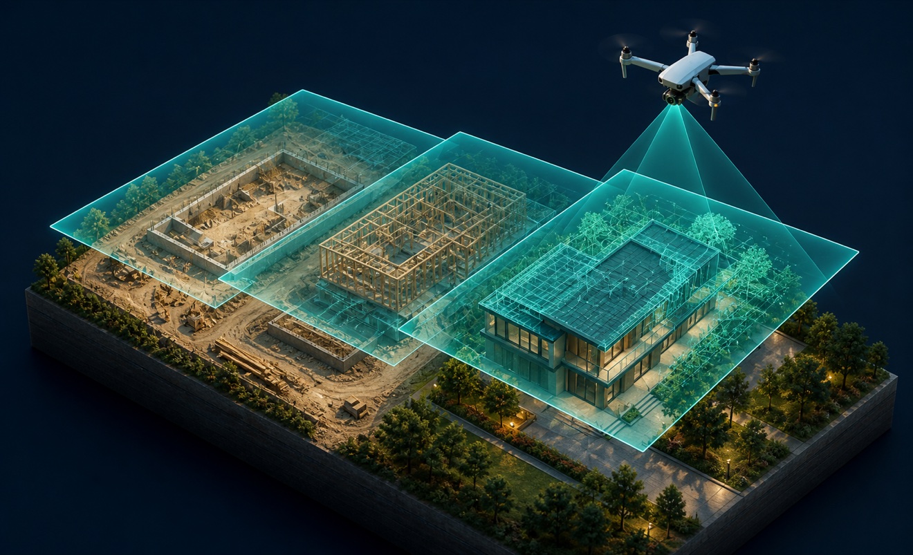
Construction progress imagery

Orthomosaic

Point cloud
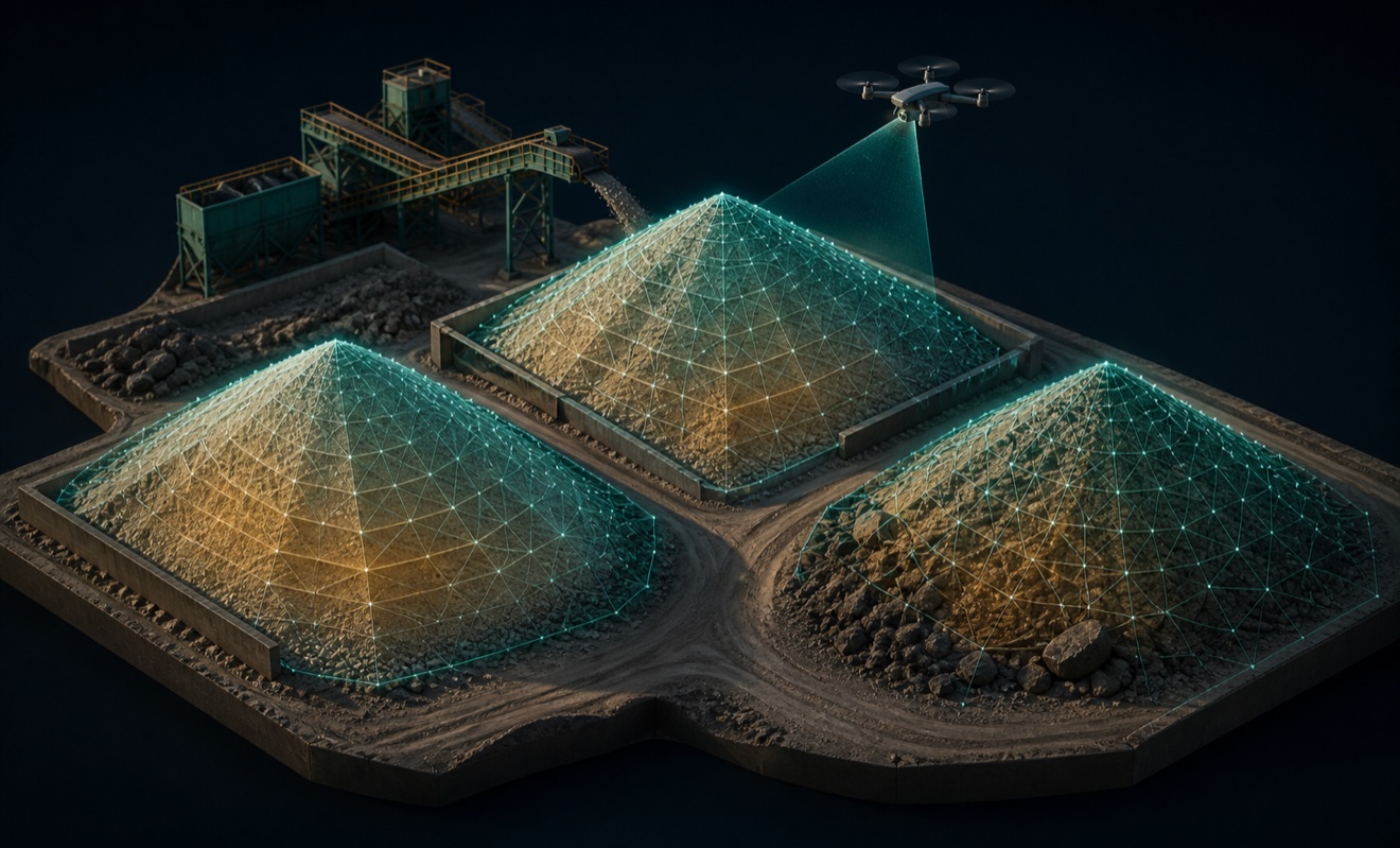
Stockpile volumes

Thermal inspection report
