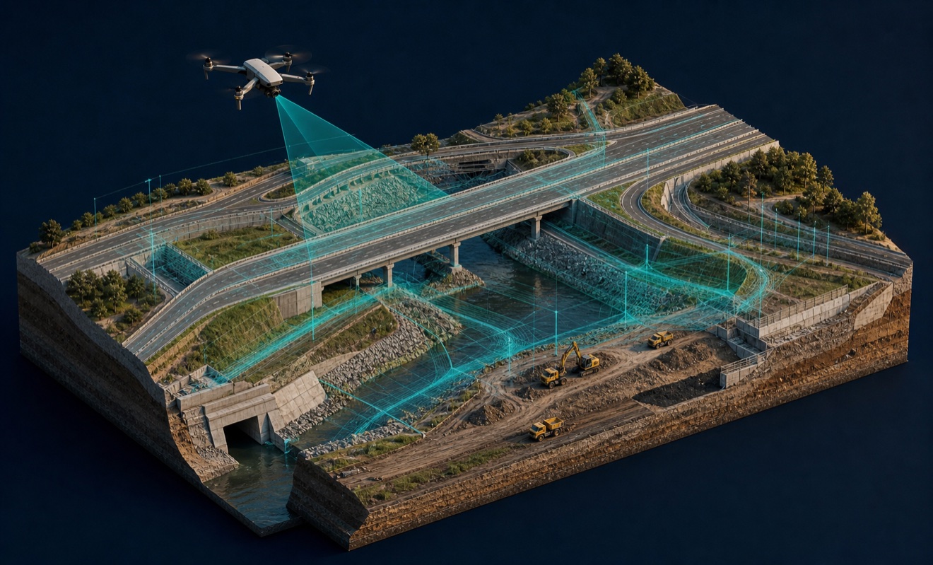

Delaware Valley Aerial
Provides aerial site intelligence for builders, architects, designers, and property teams across four Mid-Atlantic states.
Provider overview
About Delaware Valley Aerial
Delaware Valley Aerial serves construction and property teams, architects, and designers throughout Delaware, Maryland, New Jersey, and Pennsylvania. The company supports both individual project assignments and ongoing documentation needs. It also presents itself as a capture crew that can work within a client’s existing data pipeline, connecting field collection with established project and design workflows.
Provider profile
Profile highlights
Architect Workflows
Site documentation can include as-built-versus-plan overlays and physical 3D-printed site models.
Real-World Context
Captured site surroundings can provide real-world context for architectural proposals and design work.
Project Lifecycle
The website addresses needs from predevelopment site review through phased jobsite documentation and existing-condition records.
Provider capabilities
Capabilities
Provider capabilities
Industries served

Construction
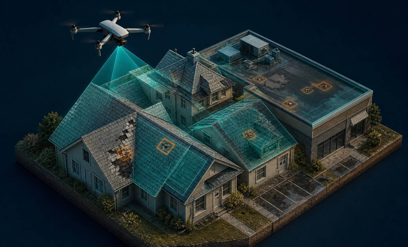
Insurance and roofing

Surveyors and developers
Provider capabilities
Deliverables

3D model
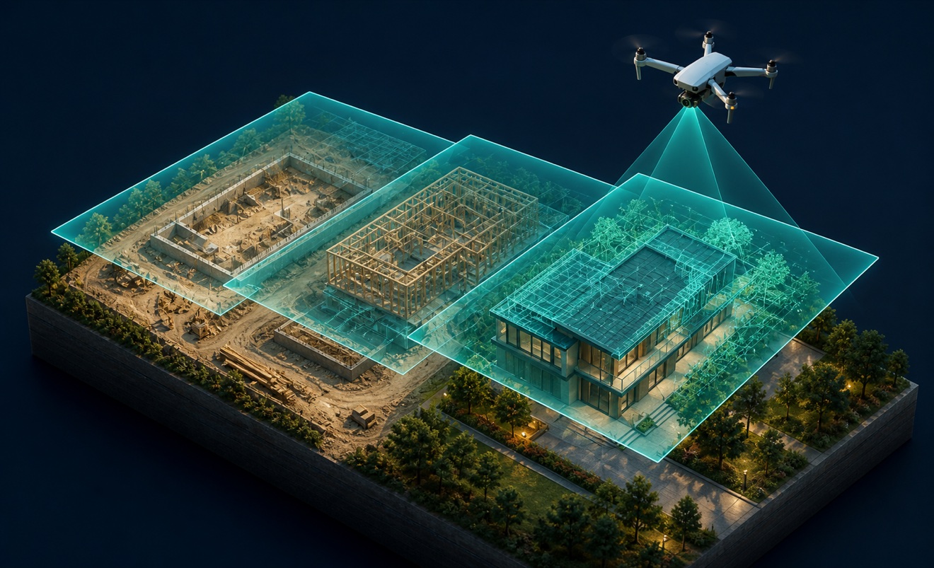
Construction progress imagery
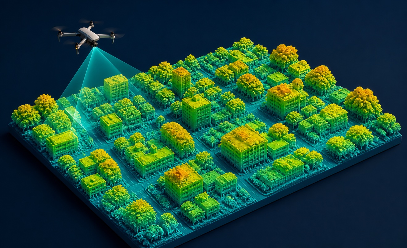
Digital surface model

Orthomosaic

Point cloud
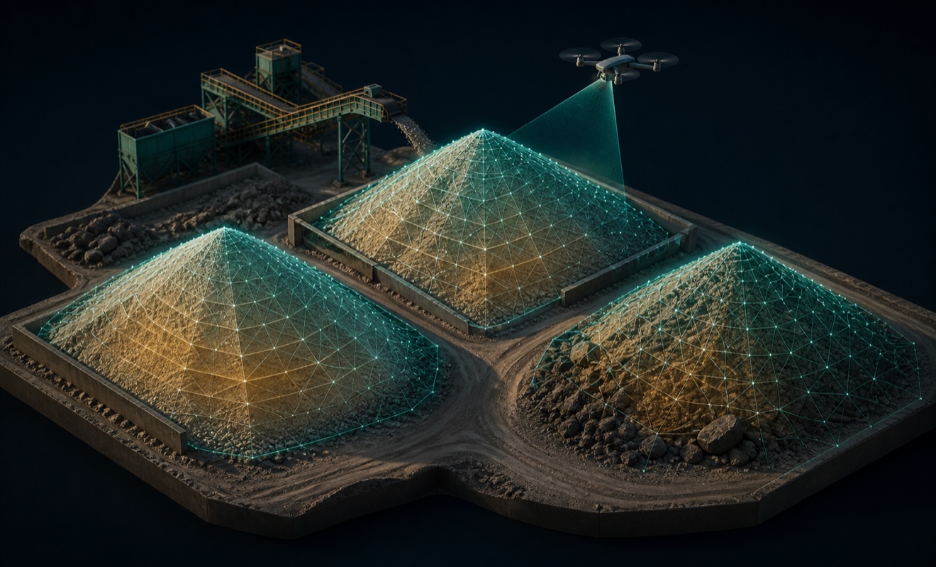
Stockpile volumes

Topographic map
