

Cadence Aerial
Creates aerial maps, terrain data, progress records, and thermal inspections for construction, engineering, and utility teams.
Provider overview
About Cadence Aerial
Cadence Aerial is an Austin, Texas provider of aerial mapping and inspection services for construction, civil engineering, and utility projects. Its work spans LiDAR, photogrammetry, thermal inspection, and construction progress monitoring, with outputs including orthomosaics, point clouds, and digital terrain models. The company also coordinates licensed surveying and works with U.S.-based partners.
Provider profile
Profile highlights
Austin Based
The company identifies Austin, Texas as its operating location.
Mapping Deliverables
Outputs include orthomosaics, point clouds, and digital terrain models.
Survey Coordination
Projects can incorporate coordination with licensed survey professionals.
U.S.-Based Partners
The company describes working with advanced partners based in the United States.
Provider profile
Specialties
Aerial Mapping Outputs
Cadence Aerial combines LiDAR and photogrammetry with data processing to produce orthomosaics, point clouds, and digital terrain models. This focus aligns with construction and civil engineering teams that need processed aerial information for site documentation and planning workflows.
Provider capabilities
Capabilities
Provider capabilities
Industries served

Construction

Energy and oil & gas

Solar energy

Surveyors and developers

Utilities
Provider capabilities
Deliverables

3D model
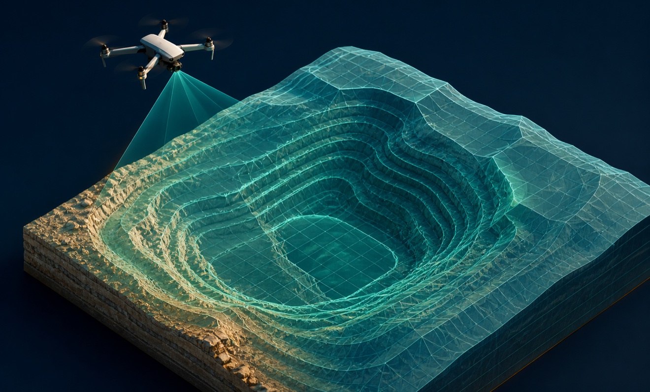
Digital terrain model

Orthomosaic
