

Arch Aerial LLC
Collects and analyzes aerial data for midstream energy assets, industrial construction sites, and water utilities.
Provider overview
About Arch Aerial LLC
Arch Aerial provides drone-based data collection and analysis for energy asset operators, commercial and industrial construction companies, and water utilities. Its website presents project-based services spanning pipeline rights of way, midstream facilities, and active job sites. The supplied packet does not identify a headquarters location or service territory, but describes both one-time construction flights and ongoing operational support.
Provider profile
Profile highlights
Pipeline Patrols
Encroachment reporting supports pipeline operators monitoring rights of way.
Multiple Leak Types
Dedicated services address methane, hydrogen, carbon dioxide, and optical gas imaging.
Construction Documentation
Progress services combine aerial photography, videography, and mapping for active projects.
Facility Lifecycle Coverage
Mapping and video services support multiple phases of midstream facility operations.
Provider profile
Specialties
Midstream Pipeline Operations
Arch Aerial demonstrates a concentrated midstream offering across rights-of-way mapping, facility capture, encroachment patrols, several forms of leak detection, emergency assessment, and desktop-accessible aerial video. This supports operators needing multiple drone workflows around pipeline infrastructure.
Construction Site Capture
The construction offering spans recurring progress aerials, one-time capture, facade documentation, site mapping, LiDAR collection, 3D modeling, and pre-bid visuals. These services address both operational project records and visual communication needs across commercial and industrial builds.
Provider capabilities
Capabilities
Hydrogen leak detection
Provider capabilities
Industries served

Construction
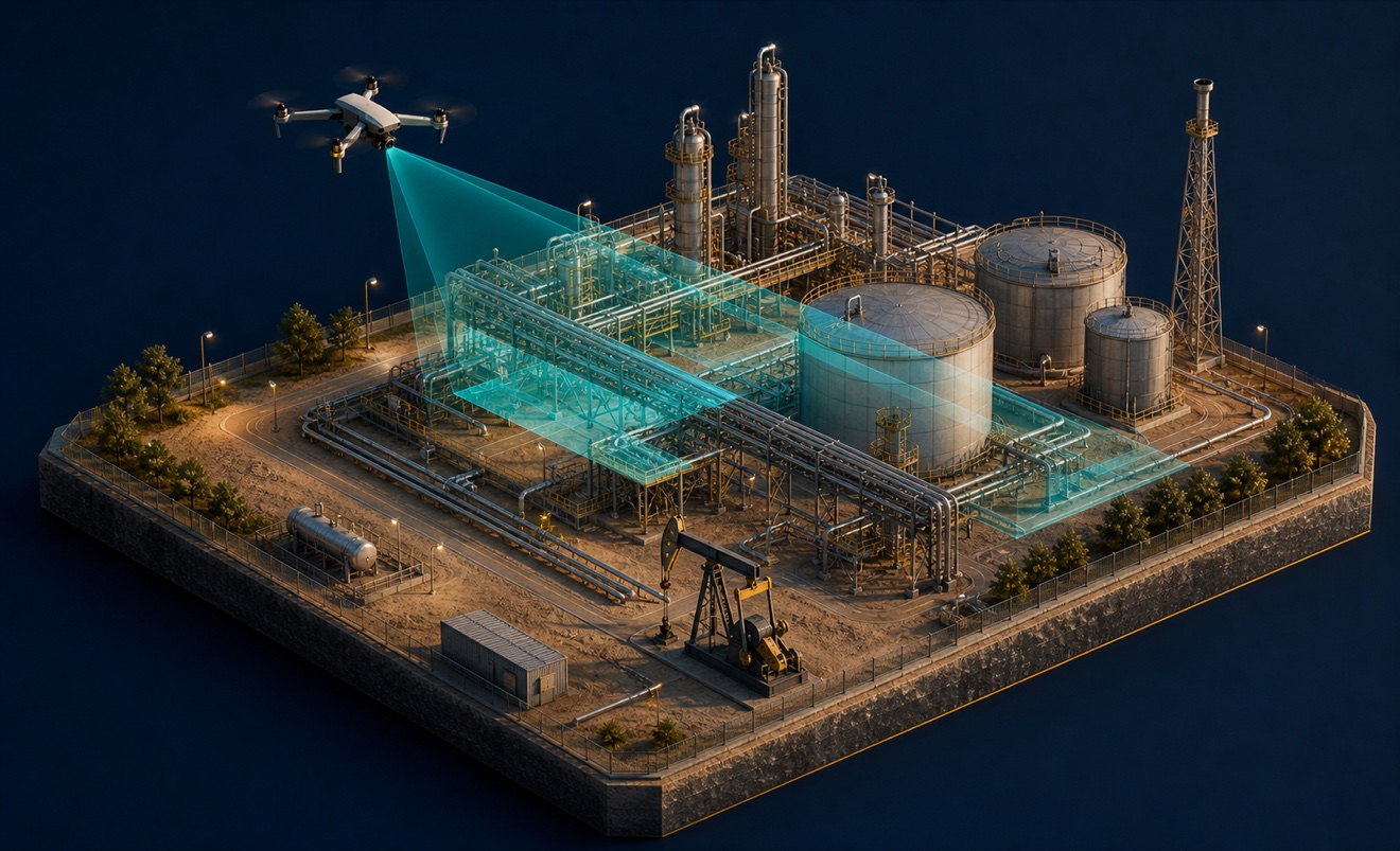
Energy and oil & gas

Utilities
Provider capabilities
Deliverables

3D model
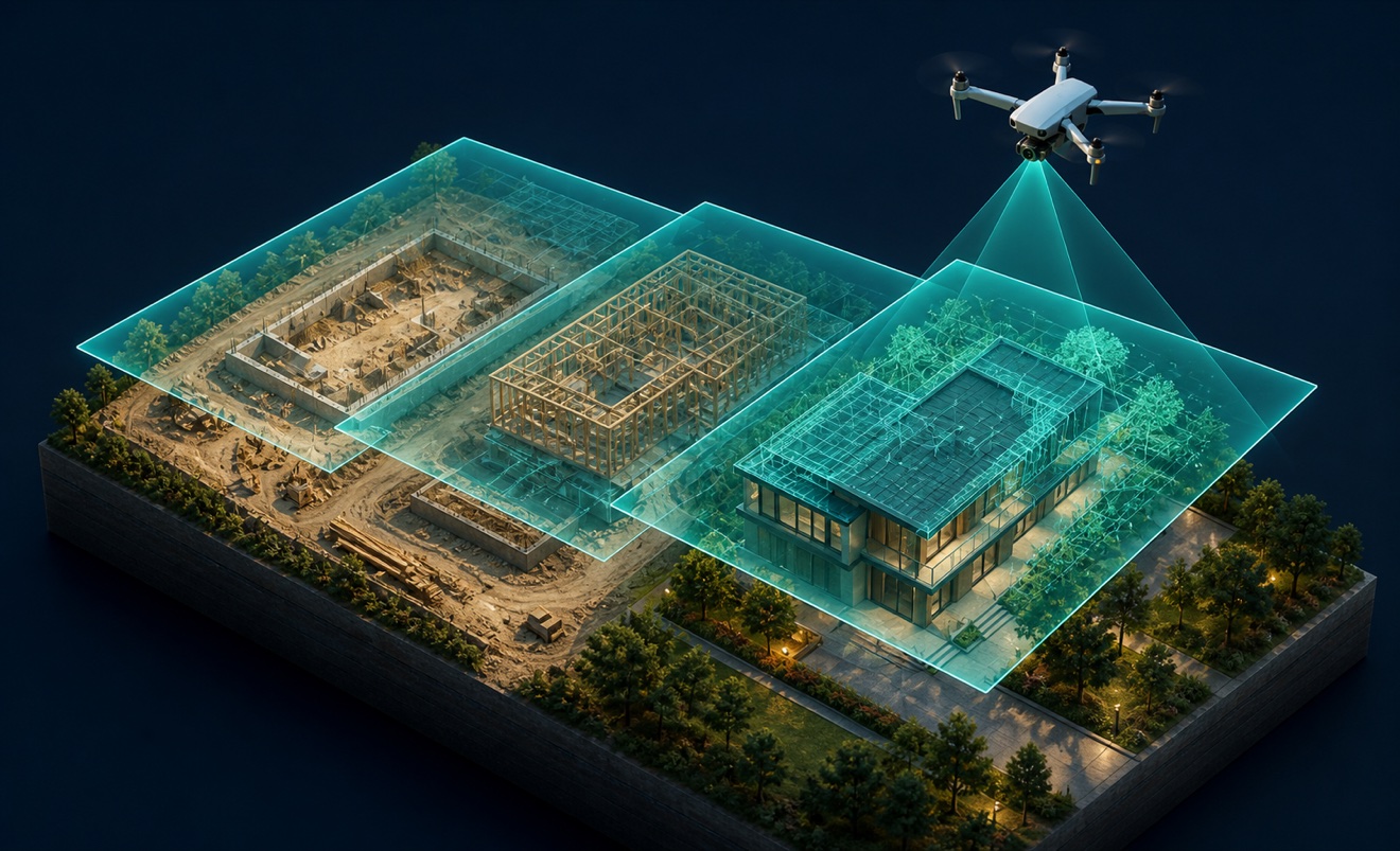
Construction progress imagery
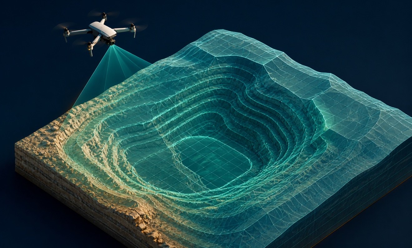
Digital terrain model

Orthomosaic

Point cloud
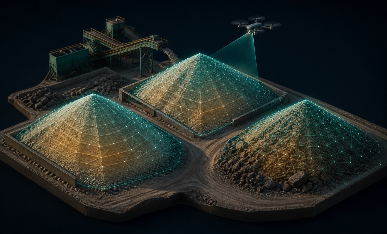
Stockpile volumes
