
Aeroview Drone Technologies
Delivers survey-oriented mapping, modeling, inspection, and progress documentation for Gulf Coast development and engineering teams.
Provider overview
About Aeroview Drone Technologies
Aeroview Drone Technologies is a Houston-based provider of aerial mapping, modeling, inspection, and construction progress documentation for survey firms, civil and engineering firms, contractors, developers, land owners, utilities, and mining or aggregates operations. The company serves Gulf Coast and East Texas job sites through an external-vendor model, producing geospatial data and visual documentation for professional surveying, design, construction, and development workflows.
Provider profile
Profile highlights
Regional Service Area
Houston-based operations serve Gulf Coast and East Texas job sites.
Survey Deliverables
Outputs include orthomosaics, topographic models, 3D models, and point clouds.
Construction Documentation
Construction services capture aerial updates throughout the construction process.
Named Aircraft
The company identifies DJI Matrice 350 RTK, Matrice 4 Enterprise, and Mavic 3 Enterprise.
Provider profile
Specialties
Survey-Oriented Mapping
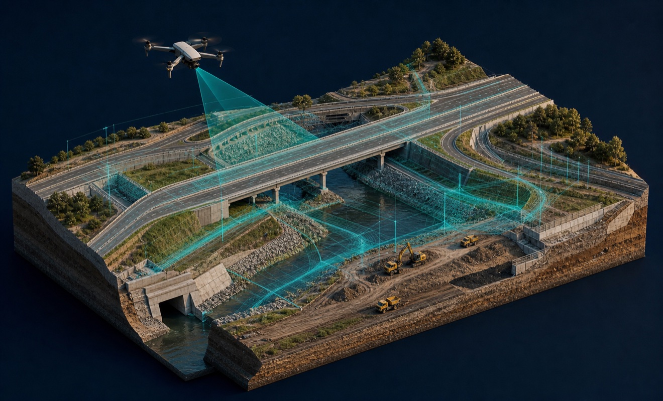
Aeroview combines LiDAR and photogrammetry with RTK-enabled aircraft and ground control services for survey-oriented mapping. Listed deliverables include orthomosaics, topographic maps, digital surface models, point clouds, and three-dimensional models for surveying and engineering workflows.
Construction Progress Capture
For construction and development teams, the company documents project stages with aerial progress imagery and mapping. Its construction page describes monitoring, documenting, and showcasing progress remotely; the service offering also includes volumetrics and cut-and-fill analysis for project measurement.
Provider capabilities
Capabilities
Provider capabilities
Industries served

Construction
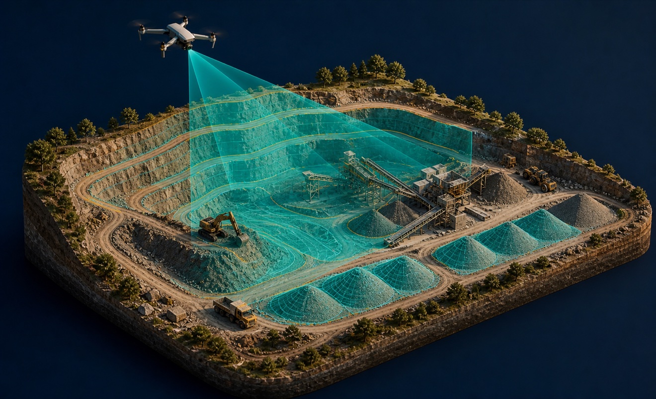
Mining and aggregates

Surveyors and developers

Utilities
Provider capabilities
Deliverables

3D model
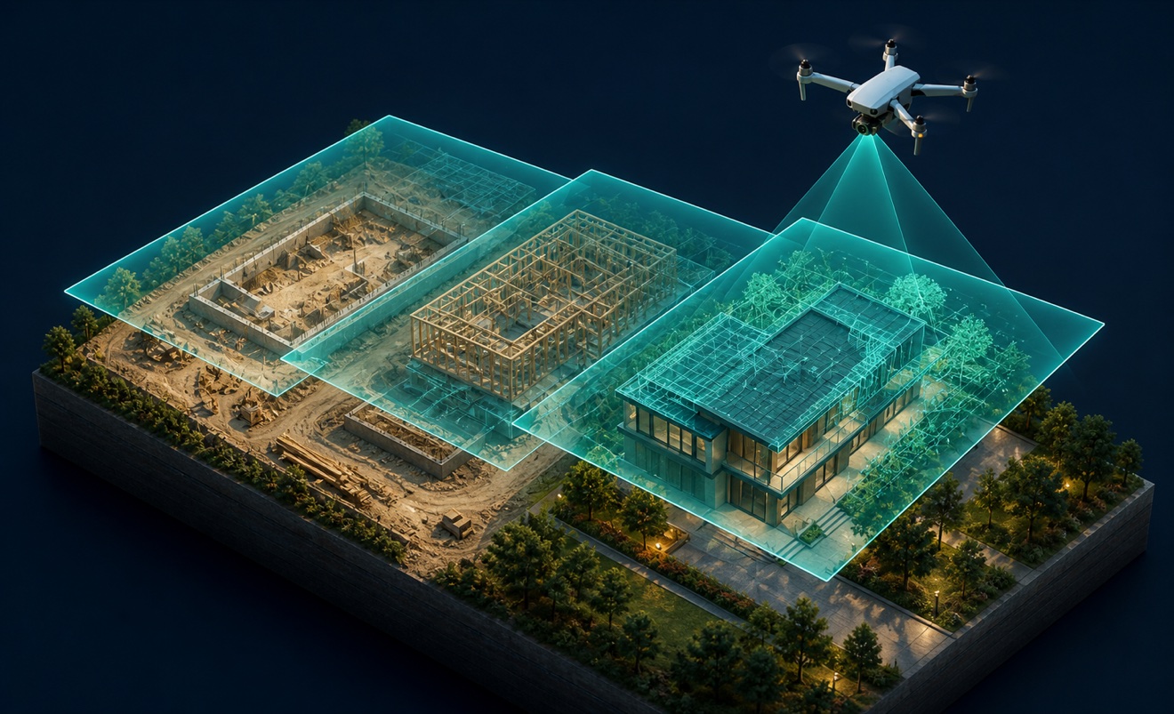
Construction progress imagery
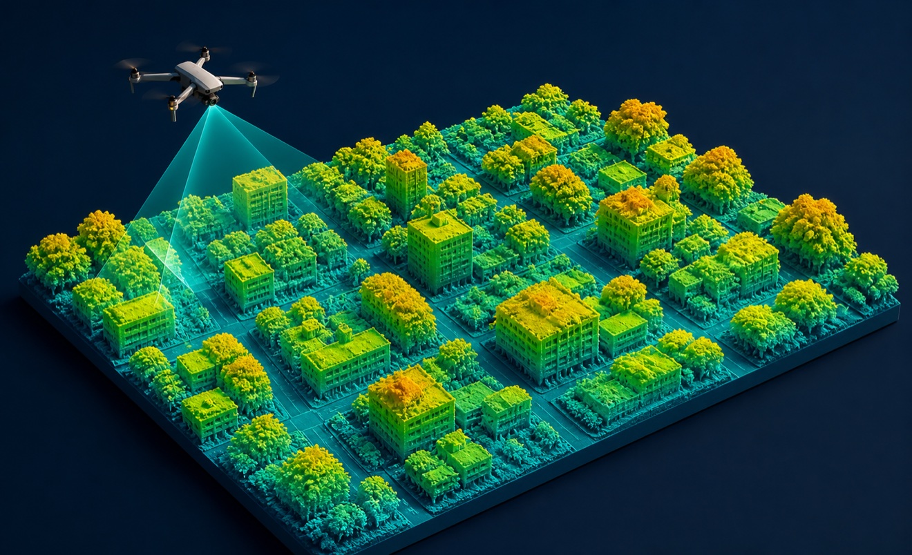
Digital surface model

Orthomosaic

Point cloud
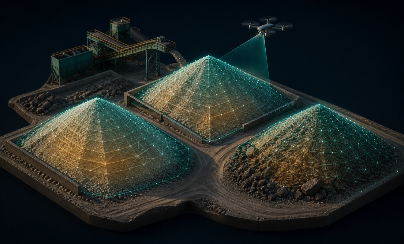
Stockpile volumes

Topographic map
