Aerial Drone Productions
Captures inspection and geospatial data for construction, energy, solar, investigation, and land-development applications.
Provider overview
About Aerial Drone Productions
Aerial Drone Productions is a commercial drone service provider supporting construction, energy infrastructure, solar, real estate land development, and investigation work. Its operating model combines aerial inspections, surveying, and project documentation with mapped and modeled deliverables. The supplied website content does not identify a headquarters or geographic service area, so location coverage remains unspecified.
Provider profile
Why consider this provider
The provider fits projects requiring aerial inspection, construction documentation, or site data converted into mapped and modeled outputs. Its demonstrated focus is most relevant to construction teams, energy asset operators, solar stakeholders, and land-development projects needing repeatable visual or spatial records.
Provider profile
Profile highlights
Mapped deliverables
Produces orthomosaics, point clouds, terrain models, surface models, and 3D models.
Construction tracking
Supports recurring aerial documentation of construction progress.
Energy inspections
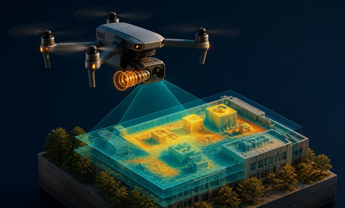
Performs thermal inspections for solar assets and wind turbines.
Multiple capture methods
Uses LiDAR, photogrammetry, and thermal imaging for project-specific data collection.
Provider profile
How they can help
Document site progress
Create recurring aerial records for construction monitoring and stakeholder updates.
Map project areas
Convert aerial data into spatial outputs for planning and site analysis.
Inspect energy assets
Use thermal imagery to identify areas requiring closer solar or turbine review.
Model existing conditions
Build 3D representations and elevation surfaces from captured site data.
Provider profile
Specialties
Survey-grade site modeling
LiDAR and photogrammetry support the creation of point clouds, orthomosaics, elevation surfaces, and 3D models. This focus suits construction and land-development teams that need structured representations of existing conditions rather than standalone aerial imagery.
Thermal energy inspections
Thermal-camera operations extend to solar energy assets and wind turbine inspections. This specialty fits operators seeking aerial temperature data to guide targeted follow-up, maintenance planning, or closer inspection of identified areas.
Provider capabilities
Deliverables
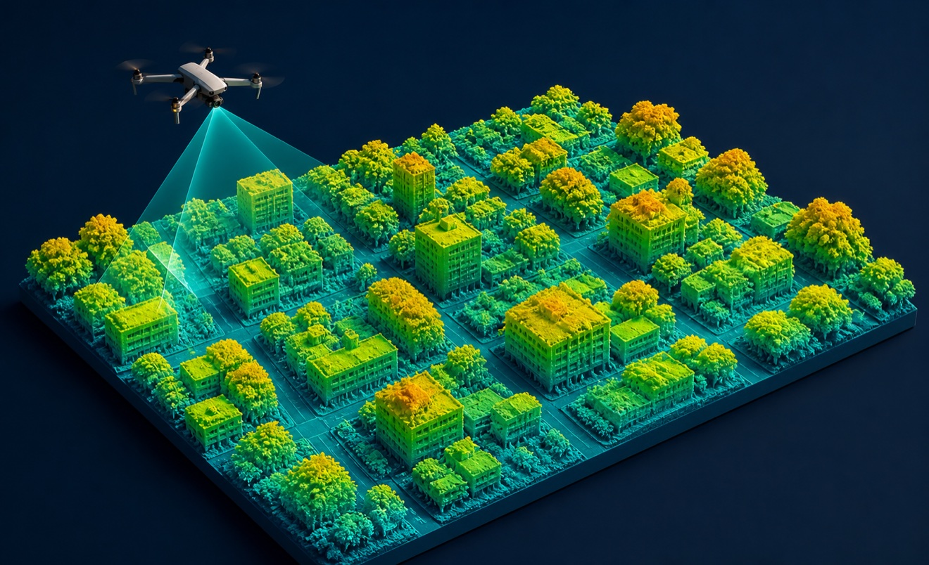
Digital surface model
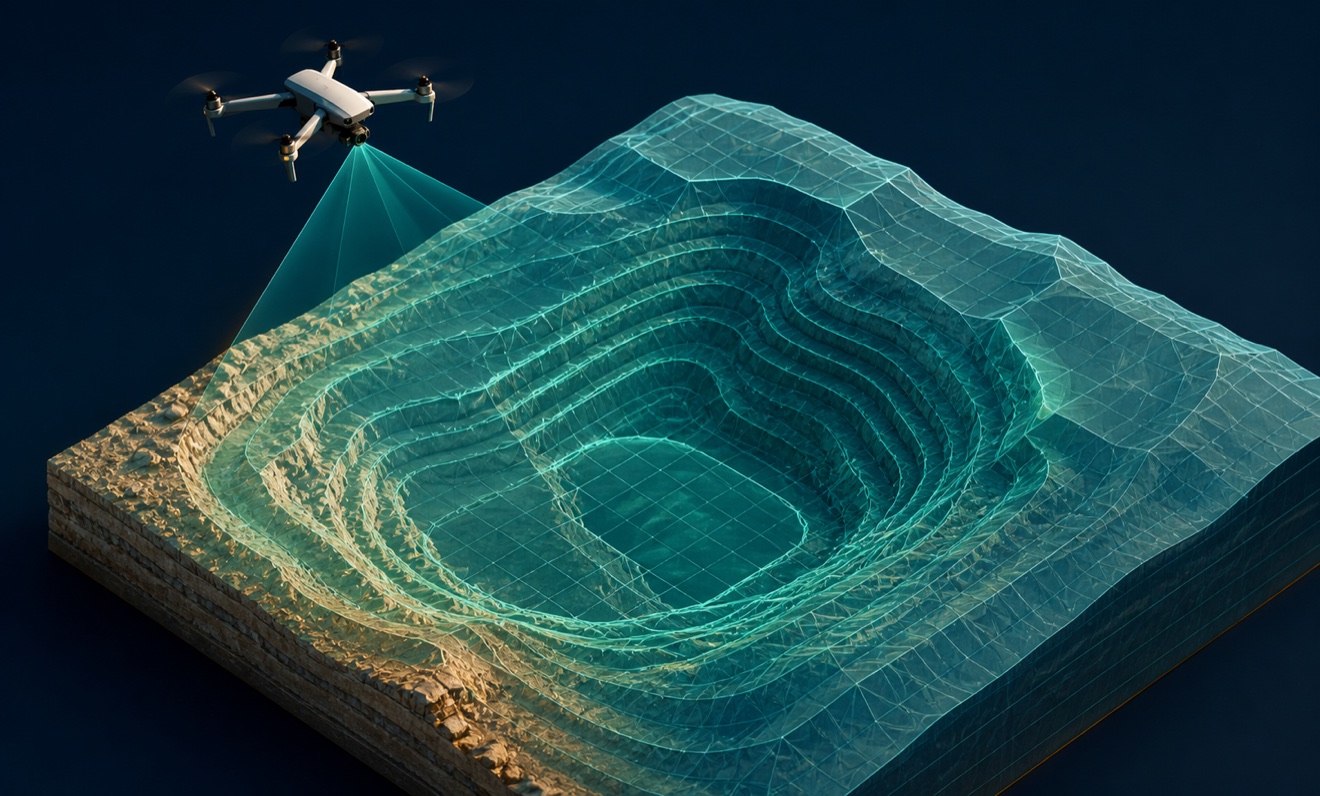
Digital terrain model

Orthomosaic

Point cloud
Provider capabilities
Industries served

Construction
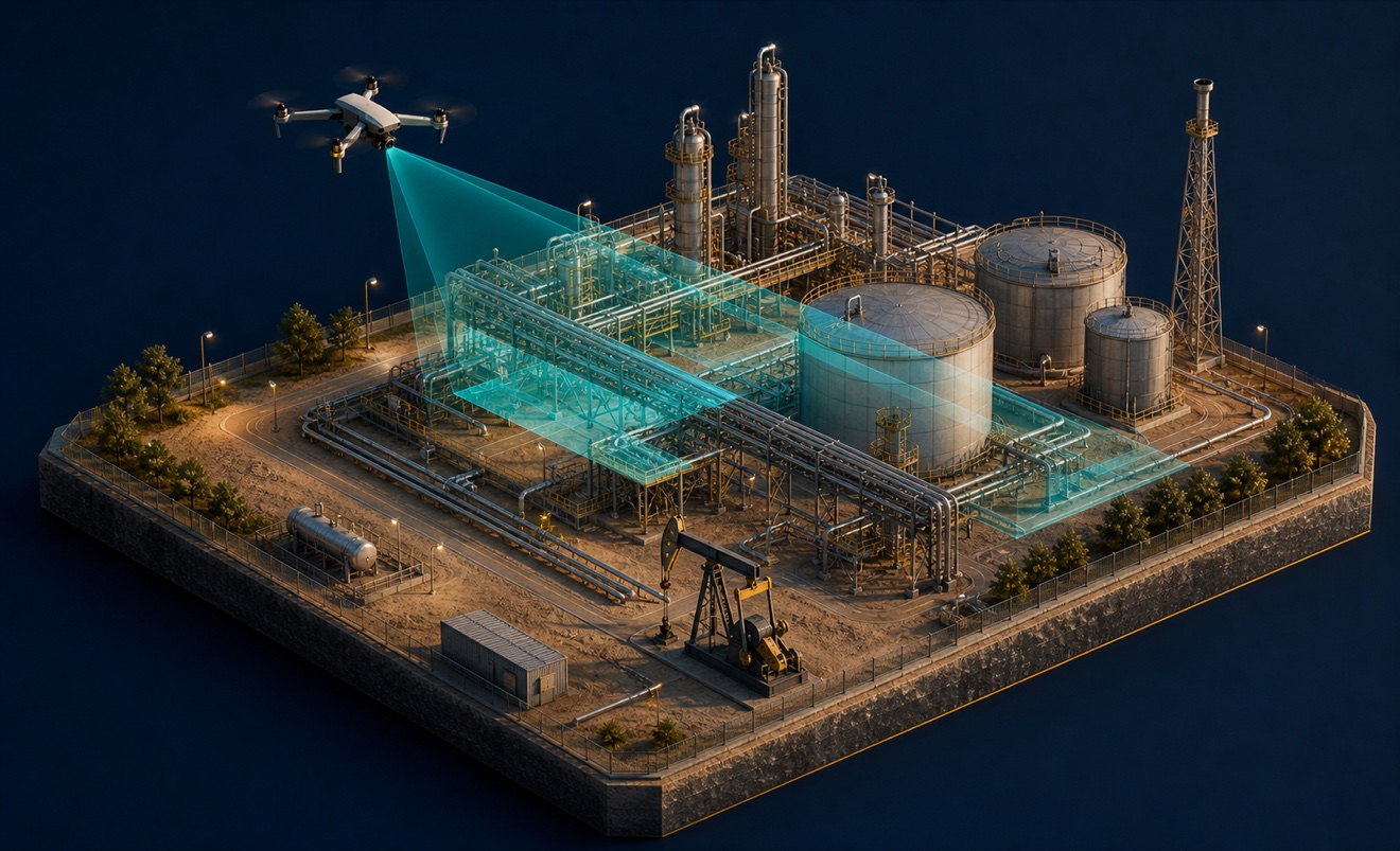
Energy and oil & gas

Solar energy

Surveyors and developers

Utilities
Provider capabilities
Capabilities
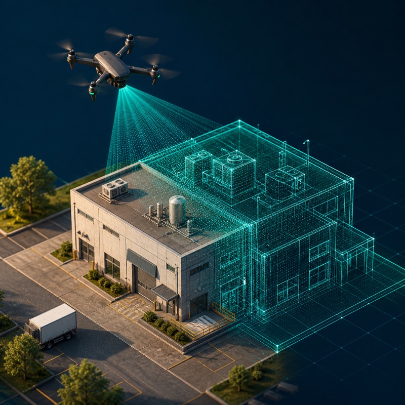
3D modeling

Construction progress monitoring
Disaster response damage assessment

Drone inspection
Fire investigation drone services
GIS mapping and analysis
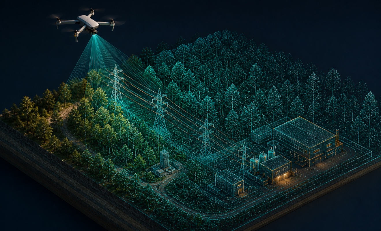
LiDAR mapping
Live drone streaming
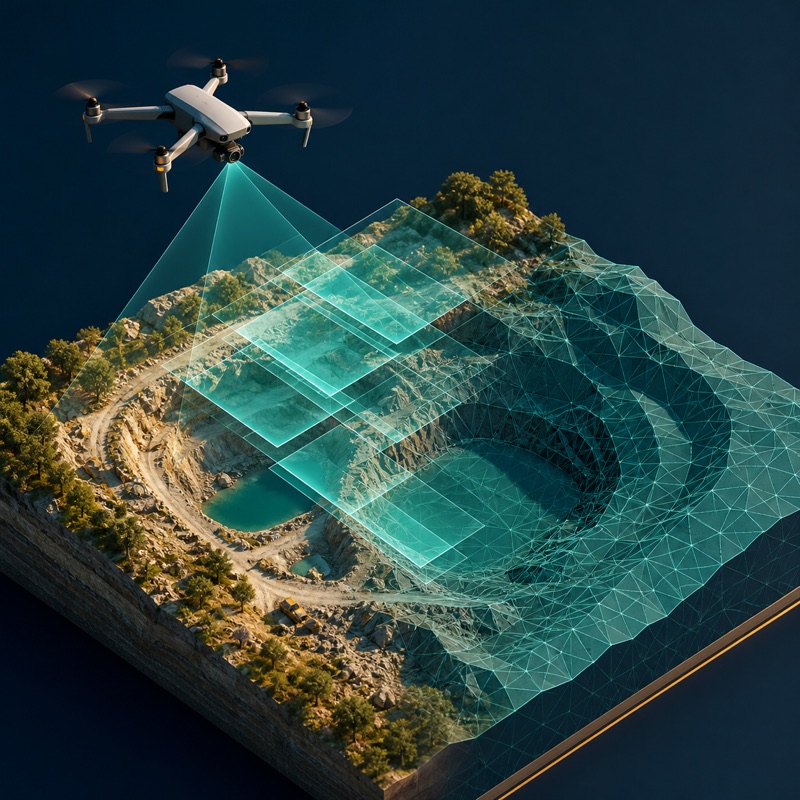
Photogrammetry

Real estate drone media

Roof inspection
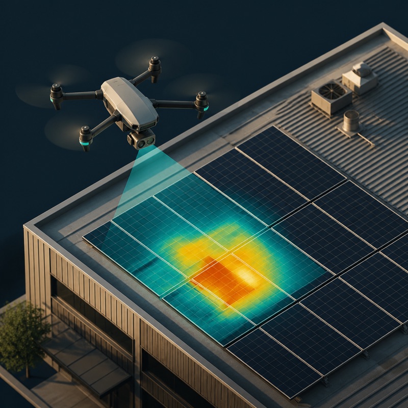
Thermal inspection
Wind turbine inspection
Provider capabilities
Equipment