1UP Aerial Drone Services
Delivers aerial mapping, inspections, imaging, and training for infrastructure, construction, agriculture, energy, and property projects.
Provider overview
About 1UP Aerial Drone Services
1UP Aerial Drone Services provides commercial drone field services, mapping, inspection, imaging, and training for infrastructure, construction, agriculture, energy, mining, real estate, utilities, surveyors, and developers. Its website presents a project-based operating model combining aerial data capture with technical deliverables. The supplied pages do not identify a headquarters or geographic service area.
Provider profile
Why consider this provider
The provider fits projects requiring aerial field capture and structured geospatial outputs, particularly for construction, civil engineering, surveying, utilities, agriculture, mining, or energy assets. It may also suit organizations combining inspection needs with mapping or progress documentation.
Provider profile
Profile highlights
Mapping Deliverables
Produces orthomosaics, point clouds, topographic maps, and 3D models.
Inspection Coverage
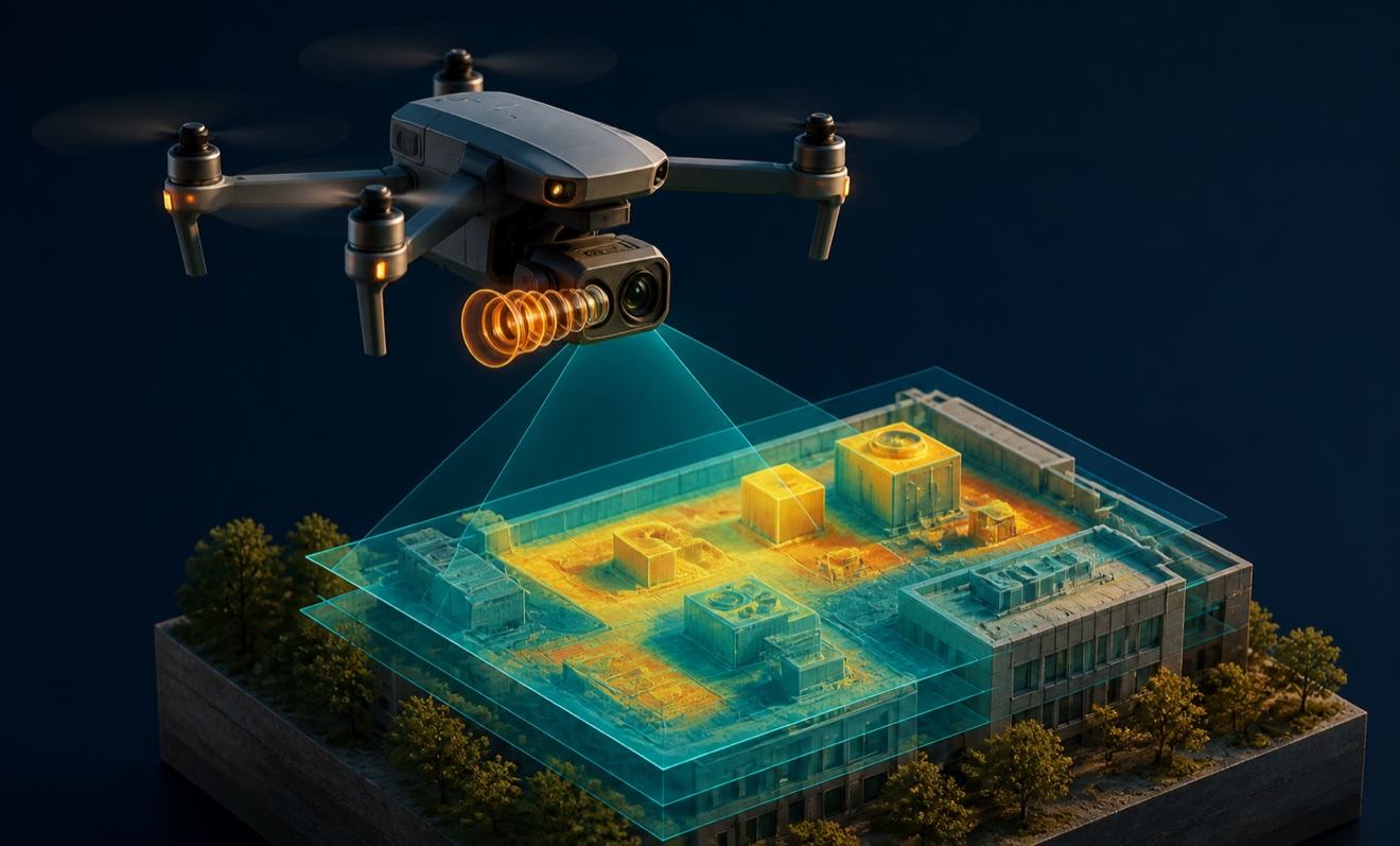
Supports roof, cell tower, thermal, and utility inspection projects.
Vegetation Monitoring
Assesses vegetation encroachment around utility infrastructure.
Training Available
Provides drone training alongside commercial field services.
Provider profile
How they can help
Map Project Sites
Create orthomosaics and topographic maps for planning, surveying, or development workflows.
Model Existing Conditions
Generate point clouds and 3D models from aerial site data.
Track Construction
Document construction progress through repeat aerial capture and photography.
Inspect Remote Assets
Capture thermal and visual data for roofs, towers, solar assets, and utilities.
Provider profile
Specialties
Aerial Mapping
Mapping services combine photogrammetry and LiDAR capture with orthomosaics, point clouds, topographic maps, and 3D models. These outputs support surveyors, developers, civil engineering teams, construction projects, agriculture, and mining operations.
Utility Field Inspection
Utility work includes aerial inspection, thermal imaging, and vegetation-encroachment assessment. The demonstrated focus extends to infrastructure and water-utility inspection contexts, supporting field review of assets that may be difficult to access directly.
Provider capabilities
Deliverables

Orthomosaic

Point cloud

Topographic map
Provider capabilities
Industries served

Agriculture
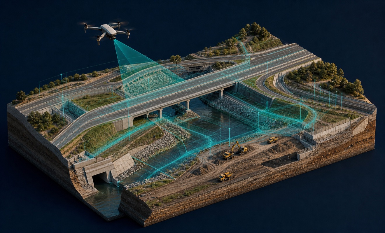
Civil engineering

Construction
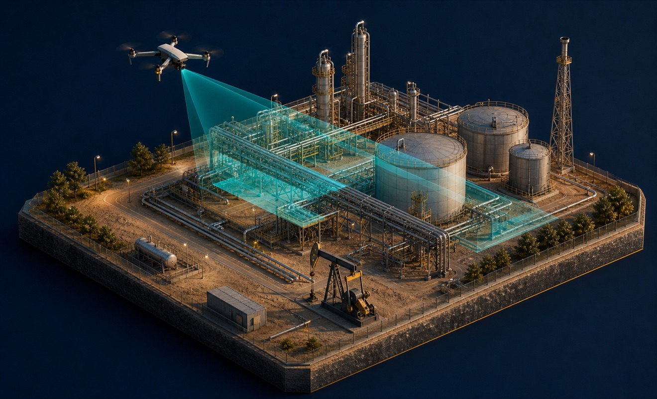
Energy and oil & gas
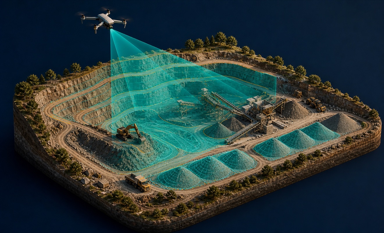
Mining and aggregates

Solar energy

Surveyors and developers

Utilities
Provider capabilities
Capabilities

3D modeling

Aerial photography
Cell tower inspection

Construction progress monitoring

Drone inspection
Drone training
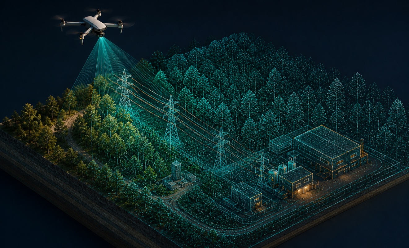
LiDAR mapping

Photogrammetry
Precision agriculture

Real estate drone media

Roof inspection
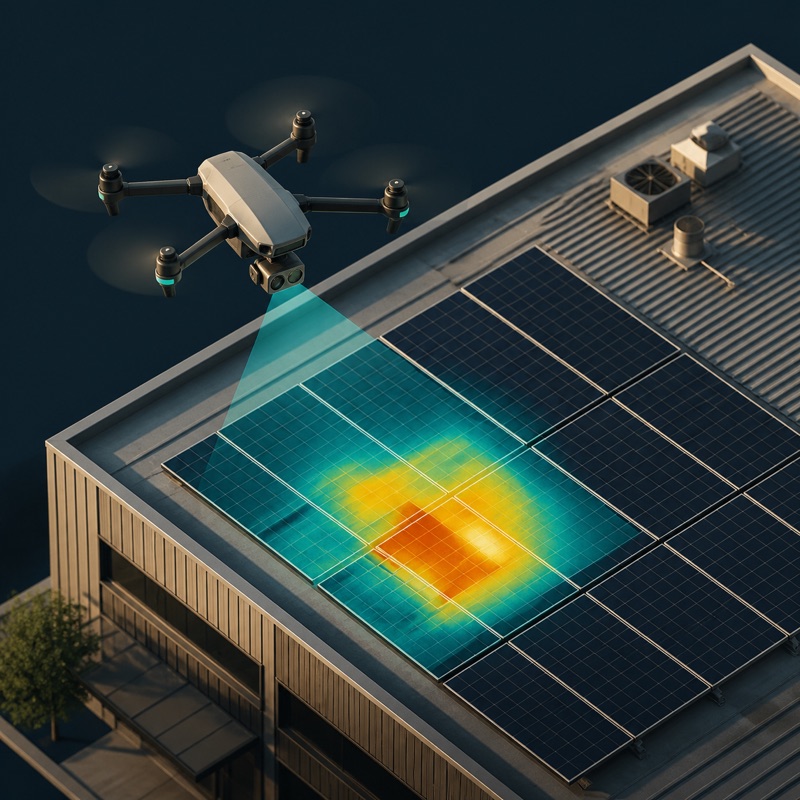
Thermal inspection
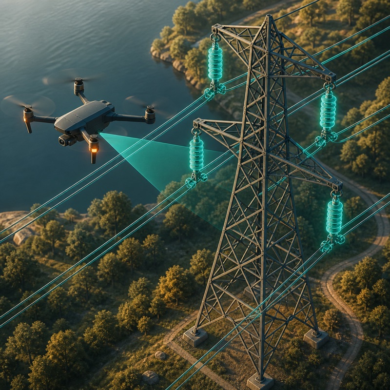
Utility inspection
Utility vegetation encroachment inspection
Provider capabilities
Equipment